By Vicky · Published Jun. 4th, 2021 · Updated Nov. 23rd, 2022
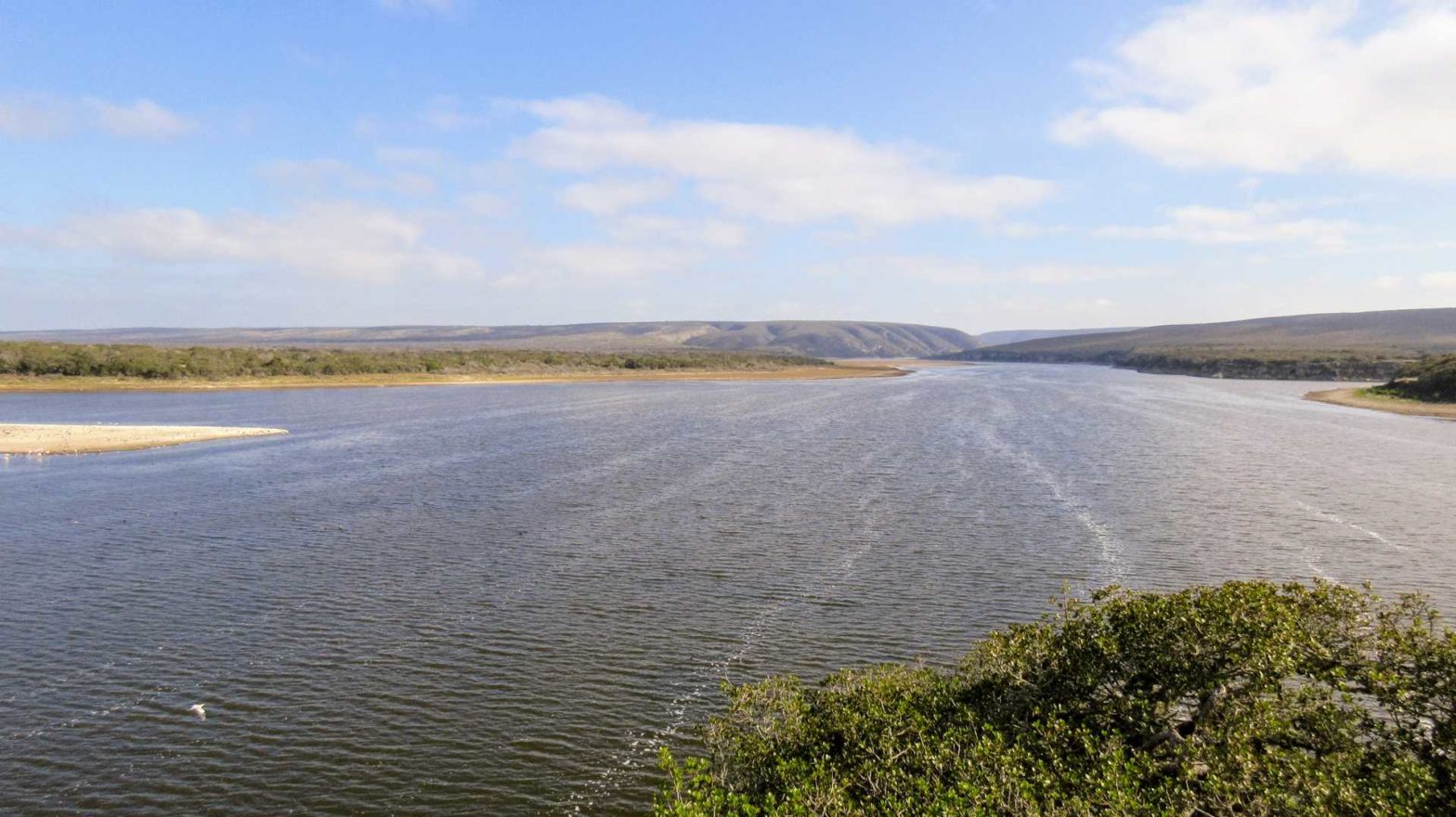
This flat, 13.5 km walk meanders along the edge of the de Hoop Lagoon filled with birdlife before returning through wildlife-filled scrub.
Location
This walk starts from the main Opstal area of De Hoop Nature Reserve. Click for our post with more general information about De Hoop Nature Reserve.
De Hoop Lagoon Walk Map
Get the route by downloading the .gpx or .kml file below. For navigation with Maps.me on your mobile phone, simply download the .kml file and open to add it to the Maps.me bookmarks.
We walked directly from our campsite at De Hoop in the early morning, having picked up a trail map from reception the day before.
Tips
- Take: a sunhat and sunscreen, plenty of water and a few snacks.
- Ask at reception for a map
- You can return at any point and turn it into an out-and-back hike along the edge of the lagoon
- You can have a snack and a well-deserved drink in the Fig Tree restaurant at the end.
- Remember your bird book* and binoculars*!
The route starts along the edge of the lagoon and there are signs you can follow. There are amazing views over the water and you can see thousands of birds, especially flamingoes.
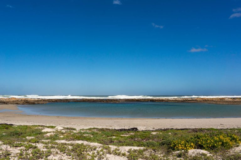
The path continues along the rocky clifftops full of dassies before eventually reaching the shoreline where antelope quench their thirst. This nature reserve is also known for caracal and bat-eared foxes, though they are most often seen in the evening or early morning when it’s not yet fully light. Keep your eyes peeled all the same!
We saw fish eagles in the trees and pelicans across the other side of the lagoon.
The trail then heads inland towards some sand dunes before heading back through the scrub towards the car park.
We saw many animals on the way back, especially near the restaurant, where we had a burger and chips for lunch.
Read more about the fun activities and accommodation in de Hoop Nature Reserve here, or find more hikes in South Africa.


