By Vicky · Published Sep. 19th, 2022 · Updated Nov. 24th, 2022
When you buy through links highlighted with an asterisk (*) on this site, we may earn a small affiliate commission at no cost to you.
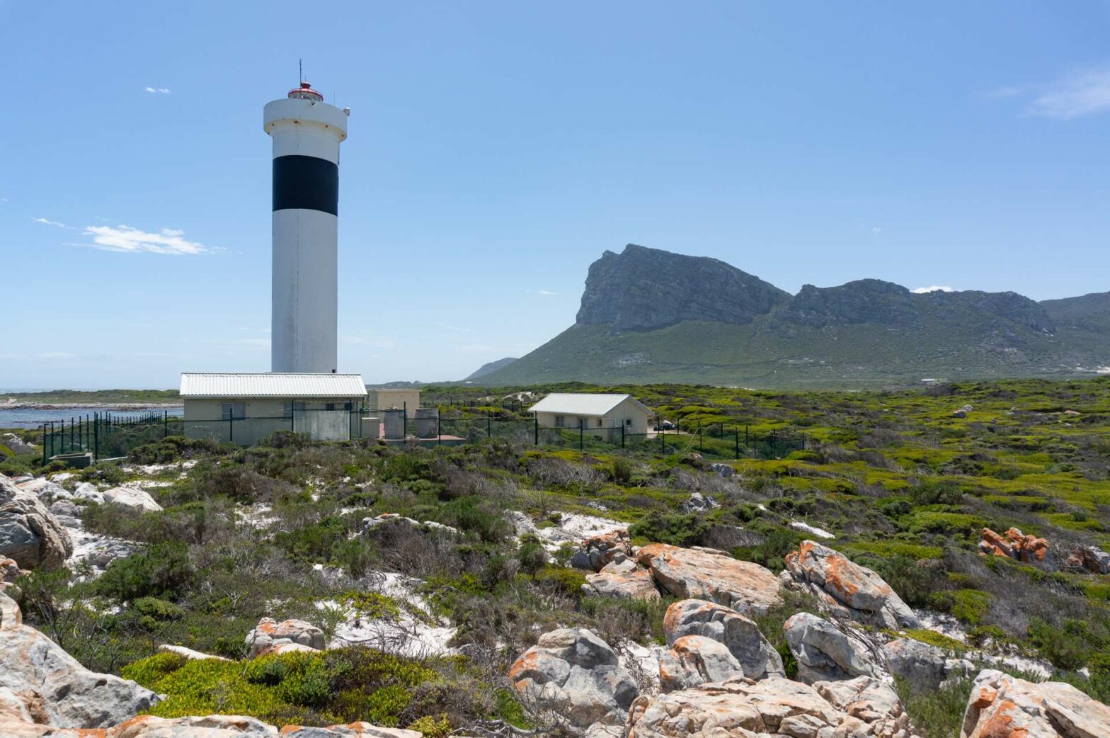
The Hangklip Lighthouse Trail is a lovely, easy stroll along beautiful coastline and gorgeous remote beaches.
Location
The Hangklip Lighthouse Trail starts from a parking lot at Maasbaai Slipway. It’s about six hundred metres down a good dirt track from the paved High Level Road.
Map of Cape Hangklip Lighthouse Trail
Get the route by downloading the .gpx or .kml file below. For navigation with Maps.me on your mobile phone, simply download the .kml file and open to add it to the Maps.me bookmarks.
Tips for Hangklip Lighthouse Trail
- Take a sunhat as there’s no shade on this hike.
- The beaches and coastline are a great place for a picnic.
- Don’t forget you’re swimming stuff if you want to brave the beautiful but cold waters.
- For navigation on this hike you can use the offline maps app Maps.me.
- You can climb up Hangklip Peak nearby for great views of this peninsula or check out our guide to Kogelberg and Cape Hangklip area.
- For more hikes in South Africa, see our South Africa Hiking Guide.
From the parking at Maasbaai Slipway, head towards the ocean and turn right at the coastline to walk along the beach. If the tide is out there’s plenty of space to walk on the sand, while if it’s high tide there’s a little trail in the vegetation just above the sand. It feels surprisingly wild here and there are great views over the beaches, ocean and to the mountains beyond.
At the end of the slightly curved bay, there’s a small but clear path across the grass. The path continues around by the water’s edge. As the trail begins to curve right, there’s a small peninsula to the left sticking further out into the ocean. You can find a little trail that loops around here before returning to the main path.
To Hangklip Lighthouse
You’ll see Hangklip Lighthouse now quite close, and the path heads directly towards it. Walk to the left-hand side of the fence around the lighthouse and follow the path as it bends to the right.
In a short distance the path cuts through the vegetated dunes and to a wonderfully wild white-sand beach. It’s absolutely gorgeous here and almost always deserted. The sea is as clear blue as the sand is white, and the mountains form a great backdrop. The distinctive mountain ending with a large cliff is Hangklip Peak, and you can hike up here for beautiful views.
Walking along the Beaches
Take a dip here (braving the chilly water) or just soak up the scenery before walking along the bay-shaped beach. At the far end of the sand, a small trail continues slightly inland. It follows the coastline around a sticking-out section before returning towards another sandy beach, this time backed by very sandy sand dunes. This is another gorgeous beach, though it can be slightly more crowded than the previous one.
Walk along the beach, perhaps stop for a rest, swim, or picnic. About halfway along the beach, head right through the dunes and you’ll reach a track. Turn right at the track to return to the car park and the end of this Hangklip Lighthouse Walk.
For great views down onto this peninsula, climb up Hangklip Peak nearby. Alternatively, check out our guide to Kogelberg and Cape Hangklip area. For many more hikes in South Africa, see our South Africa Hiking Guide.


