By Vicky · Published Sep. 19th, 2022 · Updated Nov. 24th, 2022
When you buy through links highlighted with an asterisk (*) on this site, we may earn a small affiliate commission at no cost to you.
The Hangklip Peak Hike is an easy half-day hike up a distinctive hill with fantastic views from the top over beaches and mountains.
Location
The Hangklip Peak Hike starts from a small parking lot by the side of a backroad in Pringle Bay. There’s enough space for a few cars here and you’ll see a signpost for the Hangklip Conservation Area. Gate times are officially sunrise to sunset, but there is no office or anyone at the trailhead.
Map of Hangklip Hiking Trail
Get the route by downloading the .gpx or .kml file below. For navigation with Maps.me on your mobile phone, simply download the .kml file and open to add it to the Maps.me bookmarks.
Tips for Hangklip Peak Hike
- The trail is officially open from sunrise to sunset.
- No dogs are allowed on this trail.
- For navigation on this hike you can use the offline maps app Maps.me.
- For another hike nearby, try the Three Sisters Trail or the Hangklip Lighthouse Walk. Alternatively, check out our guide to Kogelberg and Cape Hangklip area.
- For more hikes in South Africa, see our South Africa Hiking Guide.
From the car park, head through the gate into Hangklip Conservation area. Walk along the small path up the lovely valley. After just over 1.2 km take the path that heads right and steep uphill.
Almost all the climb on this walk is in the next kilometre as the trail heads through the bushes up the hill. The views get better as you approach the top.
At the top of Hangklip Peak
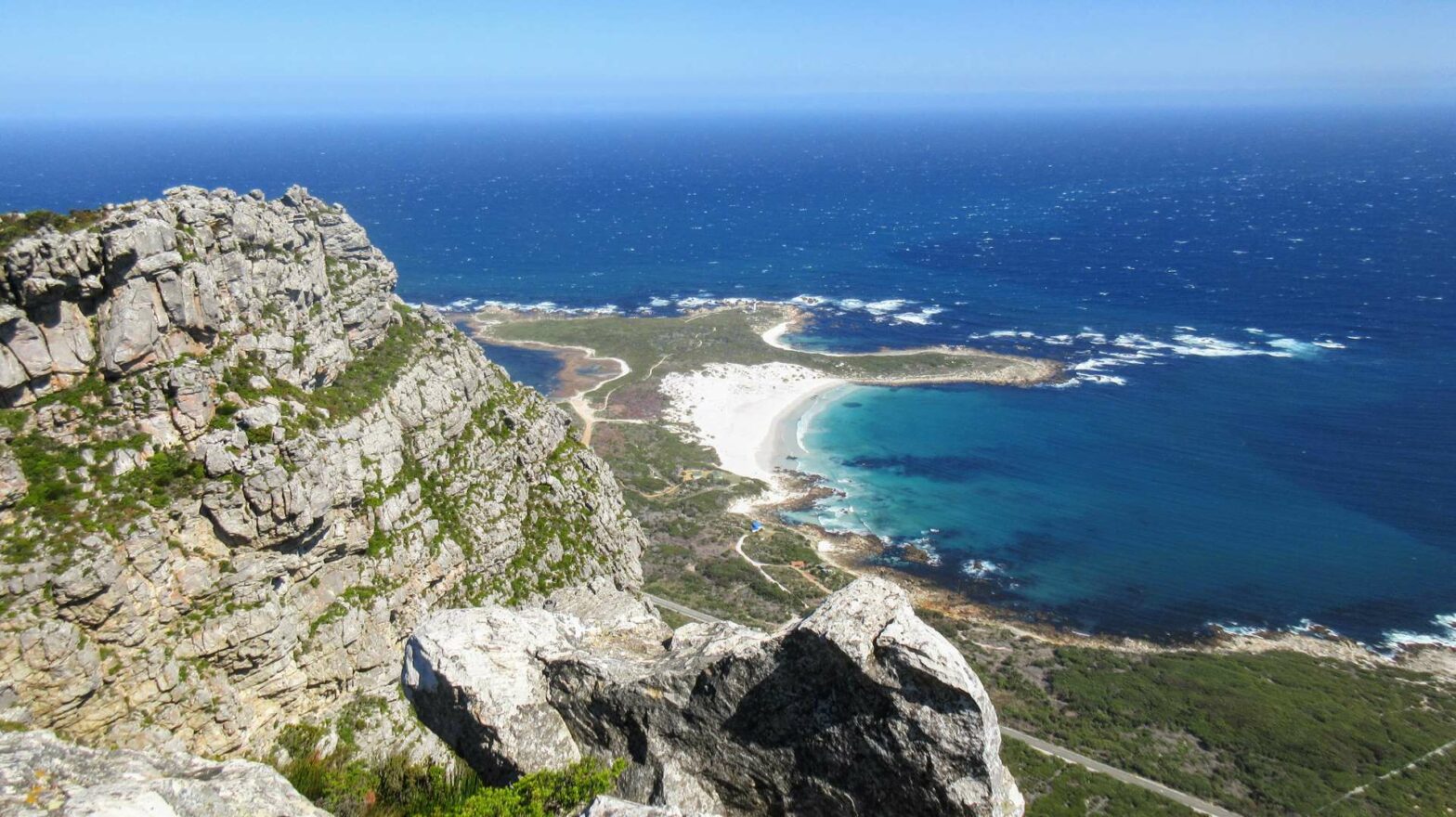
The top itself has some large boulders and rocky cliffs. Be careful not to get too close to the cliff tops as they drop off almost vertically several hundred metres down to the flat coastline below. There’s a fantastic view here. You can see the flat Hangklip Lighthouse Peninsula stretching into the blue ocean (you can also hike here) and other gorgeous beaches on either side.
After admiring the views, walk along the top and take the path downwards. About halfway downwards there’s a small path heading off left. Don’t take this, but stick to the broad ridgeline, where you continue to have good views. The path eventually zigzags down to a saddle and a path junction.
Head left at the junction back down into the valley. After about 2 km of gentle walking, you’ll be back where you left your car and the end of the Hangklip Peak Hike.
For another hike nearby, try the Three Sisters Trail or the Hangklip Lighthouse Walk. Alternatively, check out our guide to Kogelberg and Cape Hangklip area. For many more hikes in South Africa, see our South Africa Hiking Guide.


