By Vicky · Published Jul. 28th, 2022 · Updated Nov. 21st, 2022
When you buy through links highlighted with an asterisk (*) on this site, we may earn a small affiliate commission at no cost to you.
The Mount Lesung Crater Hike is a circular route that heads through beautiful farmland, up through the jungle to the crater rim, and then down to a lake and temple.
Mount Lesung Crater Hike Map
Get the route by downloading the .gpx or .kml file below. For navigation with Maps.me on your mobile phone, simply download the .kml file and open to add it to the Maps.me bookmarks.
Location
This walk up Mount Lesung (Gunung Lesung) starts from the hotel we stayed at, Terrasse du Lac, in Tamblingan.
Tips for Mount Lesung Crater Hike
- Set off early to avoid the heat of the day, and for the best chance of having a clear view at the top.
- Take snacks and water, there’s not much food to buy along the route.
- We stayed at Terrasse du Lac* to do this hike. It’s also a nice restaurant.
- It’s a good idea to have the free app Maps.Me for this hike.
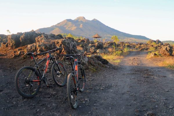
- For more inspiration, check out the Best Hikes in Bali, or try Cycling in Bali.

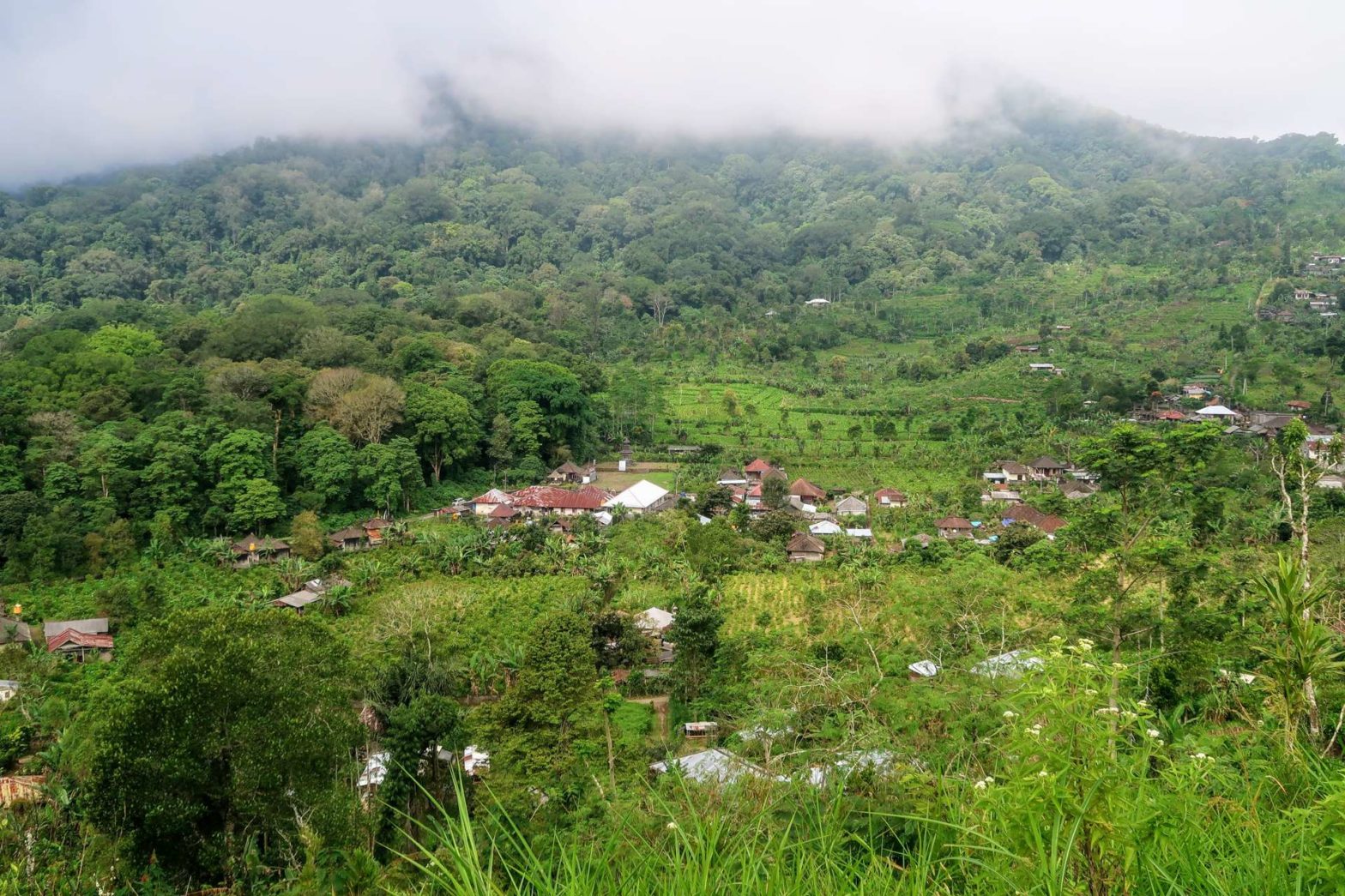
From the hotel/restaurant, walk along the road away from the lake. Continue as the road heads slightly downwards into a village. When the road turns a corner right, head straight on along the paved track. This track heads steeply upwards through farmland. There are nice views of flowers and fields if it’s not misty.
Just over 2 km from the road corner, you’ll reach a larger road. The path up Mount Lesung heads off to the left at the next corner of this road. On Maps.Me there is a path marked earlier to the left, but there’s nothing there. The correct path is the one at the corner. It can be slightly tricky to follow initially – make sure to stick to the ridge top.
After starting gently the path starts heading more steeply upwards. Near the top you can head right for 200 metres along a path to reach a small shrine in the jungle. You must then retrace your steps to the main hiking path. The route continues upwards and after a steep section, you’ll come out of the crater rim of Mount Lesung.
On the Crater Rim of Mount Lesung
The crater rim is less spectacular than you might think. The area is all full of trees so the views aren’t that great, but you can see the land fall away from you on the other side. Head left along the rim. It’s about 800 metres to the summit of Mount Lesung, which is marked by a temple. The path along the crater rim is quite narrow and overgrown in places, but the path is never unclear. Do watch your footing. At the top you’ll see a little temple – be respectful.
Heading Back Down
Opposite the temple is the way down. It’s about 2.5 km to the lakeshore of Lake Tamblingan. The route down is fairly steep, and in places it’s not totally obvious. Check Maps.Me regularly to check you’re on the correct route. The route starts on a bit of a ridge, but at times you have to cross through little valleys between and over to the next ridge. There are some beautiful trees and jungle on this section of the walk.
Eventually the path flattens out and becomes larger, and you’ll see some houses and perhaps hear a few other people. You’re nearly at the lake now. There are quite a few paths and it doesn’t matter which one you take, as long as you keep heading slightly downwards and onwards towards the lake. We tried to take the larger paths.
Lake, Temple and Farmland
Soon you’ll reach a bigger track by the lake. Continue walking along the track and you’ll see a campsite on your right. There’s also a wonderful temple, with many pagodas reaching for the sky. This temple is called Pura Ulun Danu Tamblingan.
If you’re interested in Bali discover more….
At the main road by the temple, head left and away from the lake. This road heads slightly upwards and along through some farmland with scattered houses. We saw many goats in their little shelters and lots of chickens. Keep on going and the road will join the road you walked down near the beginning of this hike.
Turn right up the hill and along. You’ll soon end up back at Terrasse du Lac*, where we stayed overnight. It was very cosy, with even a little wood fire in our room. There wasn’t much accommodation in the area and we were very happy with this place. We also had a great dinner and breakfast here.
Guidebooks to explore more of Bali & Lombok


For other hikes nearby, see our Bali Lakes Area Hike or Mount Catur Hike. For more inspiration, check out the Best Hikes in Bali, or try Cycling in Bali.
FAQS: Mount Lesung Crater Hike
Mount Lesung is 1,865 metres high.
A circular hike up and down Mount Lesung is 10.5 km with 685 metres of climb. It takes 3-4.5 hours.
Related Posts