By Vicky · Published Mar. 6th, 2021 · Updated Nov. 22nd, 2022
Puigmal Peak is a great circular hike in the Pyrenees, with fantastic views from the top of the mountain. It’s one of the highest peaks in the eastern Pyrenees!

Location
Start from Les Planes, at the end of the track in the ski-resort Err-Puigmal. There is a small car park near the end of the valley. The nearest town is Err, 20 minutes away, which you’ll have to pass through to get here. It’s almost 3 hours from Toulouse, 3½ hours from Montpellier and 2½ hours from Barcelona.
Get the route by downloading the .gpx or .kml file below. For navigation with Maps.me on your mobile phone, simply download the .kml file and open to add it to the Maps.me bookmarks.
This trail was hiked by my brother. From the car park, the walk starts by continuing a little further along the track. At the first sharp bend, the path heads straight on, and you leave the track behind. You head up by a stream, the path quickly becoming steeper.
Tips
- This hike presents no real difficulties in summer, however in winter it would become a mountaineering challenge.
- Even on a beautiful summer day, it can be cold at the top, and the weather can change very quickly.
- Make sure to take enough warm clothing and rain jacket.
- Walking boots are recommended.
- Take a map and compass. In misty weather especially, check that you’re taking the correct path back down from the peak.
- There are several camping options in the nearby town of Err.
- Find out about the rest of France in our France Guide.
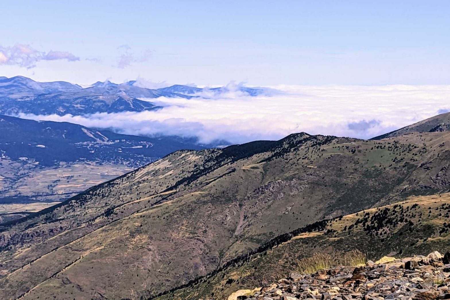
Once you reach the ridge, head right to Pic Petit de Segre. This is a peak on the main ridge, right on the border between France and Spain. After catching your breath, continue right up to the main peak just over 1 km away. From the top, the views are spectacular.
We were lucky to see five huge eagles flying in formation above their mountainous domain. Don’t get distracted, make sure you take the correct path back down from the peak. There are several paths here, some heading down the opposite side and into Spain. If it’s misty, be sure to check your map and compass.
The Descent of Puigmal Peak
From the peak, take the path that heads southwest. Continue another 2.5 km along the ridge, to another secondary peak. If you’re on the correct path, you should be able to see the valley where you parked your car (if it’s not misty). There is a ski station at this secondary peak, and this is where you begin the descent.
Head down underneath a ski lift. You’ll then reach a track. Continue down along this track, remaining on the crest of the slope. At a branch in the track, take the route that branches steeply down to the right (north). After about 1 km, you’ll reach the road at the base of the valley. One switchback further, and you should reach your car and the end of the hike.
Geology of Puigmal Peak
The western side of Puigmal Peak is underlain by schist, a metamorphic rock. Schist breaks down easily, creating nice smooth hiking trails. The eastern side, however, is underlain by gneiss. This is also a metamorphic rock, but it is much tougher than schist. Gneiss doesn’t break down so easily, and so sticks out of the ground, forming sharp crests in places.
Related Posts


