By Vicky · Published May. 14th, 2023 · Updated Jan. 7th, 2024
When you buy through links highlighted with an asterisk (*) on this site, we may earn a small affiliate commission at no cost to you.
The Buhlbach Lake and Lotharpfad Hike passes through varied terrain of the Black Forest, with a lake, hurricane trail and views.
Buhlbach Lake and Lotharpfad Hiking Map
Get the route by downloading the .gpx or .kml file below. For navigation with Maps.me on your mobile phone, simply download the .kml file and open to add it to the Maps.me bookmarks.
Location
The Buhlbach Lake and Lotharpfad Hike starts from a car park opposite the Zuflucht Nature and Sport Hotel* in the Black Forest National Park.
Tips
- The car park can get busy on sunny summer weekends, so arrive early.
- You can stay right at the start of this hike*.
- If it’s warm enough, you can swim in Buhlbach Lake.
- There are no refreshments on this walk, only at the hotel at the start/end of the hike.
- For other hikes nearby try the Burgbachwasserfall Walk or Harmersbacher Vesperweg Hike, or for more hikes check out our Germany Hiking Page.
Buhlbach Lake and Lotharpfad Hiking Route
From the car park, head left along the road if facing the hotel. Very soon you’ll come to an information sign. Take the small path heading roughly ninety degrees to the left, down into the forest. Head straight over the next road and continue gradually downwards across the first junction.
Buhlbach Lake
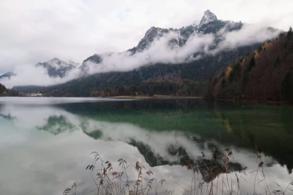
The path bends left and reaches another junction. Take a left here to follow the out-and-back to Buhlbach Lake. This lake is rather lovely and wild and there are a couple of picnic benches nearby to sit on. During hot weather, it would make an ideal place to swim.
Return the way you came to the first junction and take the left. At the next junction, turn left then soon left again to walk up alongside a nice little stream.
This section of the walk contains most of the climb. Soon you’ll be near the top, and turn left along a track. Take a right in the open, next to the forest, and you’ll return to the main road through the Schwarzwald (Black Forest). Cross over into the busy car park opposite.
The Lotharpfad Walk
The Lotharpfad, or Lothar Path, starts from this car park. It’s named after Hurricane Lothar, a large storm that blew down many trees in the Black Forest in 1999. There are many little trails here, mostly covered with boardwalks. It’s a very popular short walk in the Black Forest, so expect to see quite a few people here.
Follow the signs for the Panoramaweg, then turn right on the Lotharpfad. It’s a lovely area since the missing trees have allowed for an open moorland to flourish. Head around the outer loops of the boardwalk, and you’ll eventually reach a viewpoint. Just after this, take some steps downwards and then head left to another viewing tower.
Panorama Track
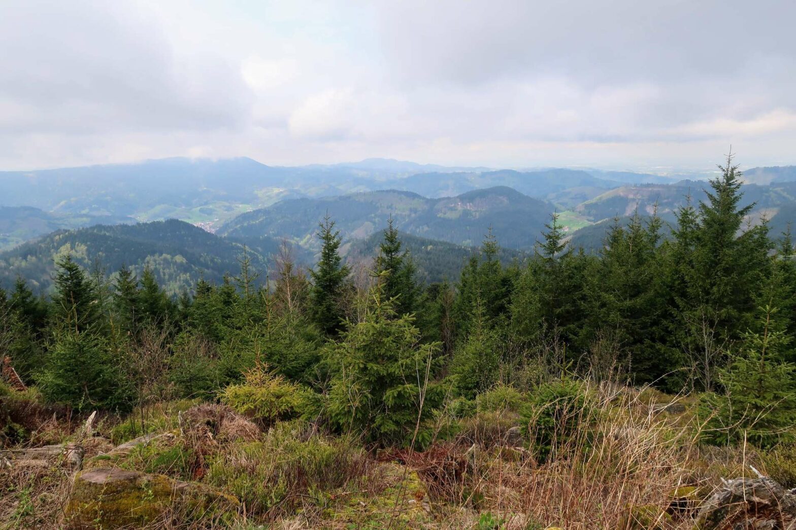
From here, head out of the wood to a larger track. Turn left here. This track contours along the edge of the ridge and there are several great viewpoints from here of the valleys below. It’s very easy walking. In about 2 km you’ll cross an open area, after which you turn right slightly uphill through the wood. At the top, you can head a short distance to the right for a view from the top of a short ski lift.
Return from the ski lift and continue to the right. Keep your eyes peeled here – you’re actually walking through an old earthworks fortification. It’s called Röschenschanze and is in the shape of a star, though this isn’t super obvious from the ground. Although you might assume it’s ancient, it’s actually only a couple of hundred years old.
From here it’s only a short, flat distance back to the car park and the end of the Buhlbach Lake and Lotharpfad Hike. If you’re hungry, visit the restaurant at the hotel opposite.
For other hikes nearby try the Burgbachwasserfall Walk or Harmersbacher Vesperweg Hike. Alternatively, check out our Germany Hiking Page for more great hikes nearby and for walking tours of the famous Bavarian cities.


