By Vicky · Published Mar. 10th, 2023 · Updated Mar. 23rd, 2023
When you buy through links highlighted with an asterisk (*) on this site, we may earn a small affiliate commission at no cost to you.
The hike around the Imberg Circuit via Falkenhütte is a great loop walk with few technical difficulties that’s possible both in summer and in winter snow.
Imberg Circuit via Falkenhütte Hiking Map
Get the route by downloading the .gpx or .kml file below. For navigation with Maps.me on your mobile phone, simply download the .kml file and open to add it to the Maps.me bookmarks.
Location
The Imberg Circuit via Falkenhütte starts at the Imbergbahn car park, a large car park a few km south of Oberstaufen in the Allgäu region of southern Germany.
Tips
- There are several huts along this hike serving food and drinks. The Falkenhütte probably has the best views and is about halfway around at the highest point, making it a great place to stop.
- In snow, most of the route is prepared but still hiking poles* are very useful. If you opt for the extension, crampon micro-spikes* are advised. Many people also wear snowshoes* the entire way around, though they are only useful in places.
- For more hikes, check out our Germany Hiking Page.
Imberg Circuit via Falkenhütte Hiking Route

From the car park, head towards the hills and left along a small track towards the large farm building (Berggasthof Auwinkel). Take a left just after the buildings along a track that winds up to Alpe Imberg, a deserted mountain shed. There’s a wooden cross here with a great bench and view over the valley below.
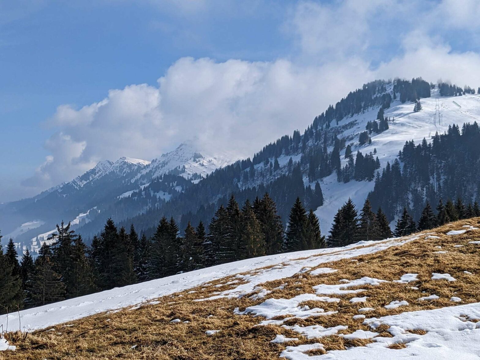
After resting on the bench, continue walking up the track which gradually climbs upwards through some fields. Soon you’ll come out at the Imberg ski area, a large open area with several small lifts. The path now leads directly up the slope, between a button lift on the left and a jumps and tricks area for skiers/snowboarders on the right.
At the top of Imberg Ridge
The path gets steeper and steeper until you reach the flat track at the top. The Imberghaus serves food and drinks here, and you can see for the first time the beautiful valley on the other side of the ridge.
Continue straight across onto a track that leads through a small woodland. At the next junction, head straight across and take the left fork which leads gently uphill, roughly contouring along a steeper slope. In winter you may get a few skiers coming down this way. However, it’s also a proper footpath as the many footprints on the track should tell you.
After 200 metres, take the left fork (which is skier free). You’ll walk along the edge of some trees before crossing a steeper ski slope. It can be slippy here, so take care and watch out for skiers. On the other side of the slope you’ll meet a nice track which continues along a beautiful hillside before descending to the Alpe Glutschwanden (serving food and drink).
Continue past the hut and take a left at the hiking signpost. Pass a rope bridge (you don’t have to use it), and the path bends left to reach a large track and Alpengasthof zur Hochweis. Just past this hut take a right past the lovely chapel and up the hill. In snow, this short section of the route might not be prepared. However, if other people have walked before you the route should be clear. Alternatively, you can continue on the track by the hut and take the first right at the next main track.
Walking across Hörmoos
Soon you’ll reach Alpengasthof Hörmoos (open year-round for food and drinks, closed Mon & Tue). It’s named after the moor which covers this area, Hörmoos, full of moss, marshlands and heather. From here, follow the track left as it passes Hörmoos Lake and up the hill to the top of a small ridge. At the top, the path bends right and continues uphill. From here you can see Berggasthof Falkenhütte in the distance and you have a choice to make.
Other Hikes in the Snow


If it’s bad weather or there’s heavy snow, continue along the track as it contours towards Berggasthof Falkenhütte. If the weather’s good, the path clear, and you have the energy, take a right on a smaller path before the main track bends the corner.
This extension leads you to the top of the Nagelfluhkette ridge and Auf dem Falken peak. In clear weather, you get great views of the Austrian Alps from here. Unfortunately for us the clouds descended just before we arrived. The extension isn’t much further in distance, but it’s an extra 150 metres of climb and the path is smaller than elsewhere on this hike.
Berggasthof Falkenhütte
Once you reach Berggasthof Falkenhütte (open year round but not on Mondays), have a drink or bite to eat and a relaxing sit-down. You’re over halfway around in distance and have done almost all of the climb.
When you’re ready, descend steeply through the field just behind the hut. After about 700 metres you’ll reach a fence and a hiking signpost. Turn right here. The path descends gently to reach Berggasthof Obersteigalpe (open year-round with a break mid-Nov to mid-Dec, closed Tuesdays and also closed Wednesdays in winter). From here, follow the road downhill all the way to reach the Hochgratbahn Valley Station car park.
To avoid walking on the road, head across the bridge in the car park and into the woods on the other side. Turn left to walk along the gravel path for almost 2 kilometres before crossing back over a bridge. Follow the path uphill through the field, where there are some lovely views until you reach a road. Turn left and take the path that parallels the road. It then crosses over the golf course and back towards the Imbergbahn car park. This is the end of the Imberg Circuit via Falkenhütte Hike.
Guidebooks to explore more of Germany


For another walk in the snow, try the walk to Kenzenhütte, climb the Seekarkreuz Peak or hike up Wolfkopf Peak. Alternatively, check out our Germany Hiking Page for more great hikes nearby and for walking tours of the famous Bavarian cities.
Pin it
Related Posts


