By Vicky · Published Jul. 14th, 2022 · Updated Mar. 23rd, 2023
When you buy through links highlighted with an asterisk (*) on this site, we may earn a small affiliate commission at no cost to you.
This Forest and Heather Hike near Roetgen leads through beautiful, peaceful countryside on the German-Belgium border.
Get the route by downloading the .gpx or .kml file below. For navigation with Maps.me on your mobile phone, simply download the .kml file and open to add it to the Maps.me bookmarks.
Location
The Roetgen Forest and Heather Hike starts from a small car park (called Wanderparkplatz Weserbrücke) by the side of the road on the border between Germany and Belgium. To reach the start of the hike via public transport, take bus SB63 from Aachen Hauptbahnhof to Roetgen Wanderstation bus stop. The journey takes 28 minutes. It’s then 550 metres, or 7 minutes walk along a quiet road to the start of this hike.
Tips for Roetgen Hike
- There are no refreshments on this hike, but there are several cafes in Roetgen, near the start/end.
- This walk starts in Germany, but most of it is in Belgium.
- Check out the nearby Struffelt Route Hike or a walk by the cute town of Monschau.
- Offline maps app Maps.me works well for this hike.
- Check out other great hikes on our Germany Hiking Page.

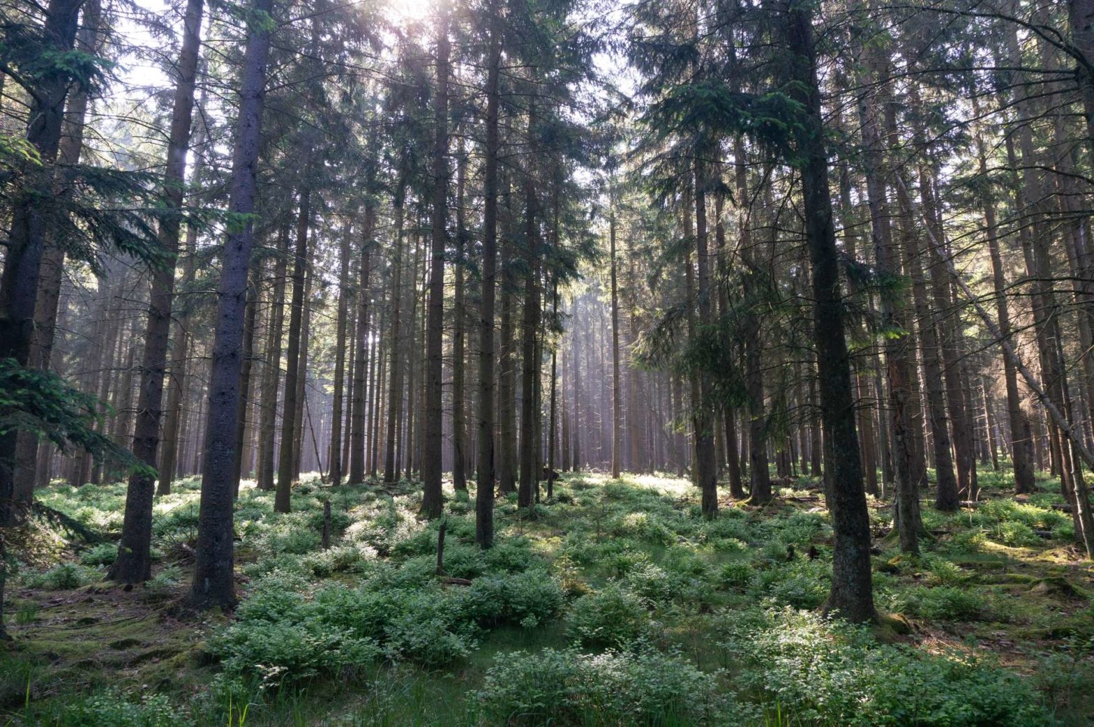
From the car park head along the track through the trees. There are some lovely patches of open land with wildflowers and yellow broom (similar to gorse but without the spines). After 800 metres you cross a small stream, don’t cross the bridge to your right.
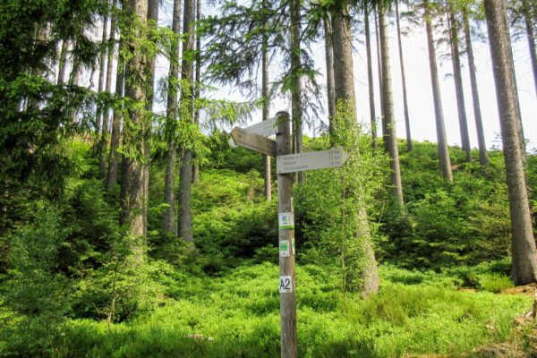
Soon you’ll reach a junction (labelled Knotenpunkt 95). You’ll return here near the end of the hike. Now, head across and slightly left at the junction to continue walking along the stream. Cross over the larger track when you reach it, then turn left when you hit another track, before reaching another stream.
Continue contouring along this path for just over 2.5km, always keeping the stream on your right. Eventually, you’ll reach another junction (Knotenpunkt 93). Turn right here along a path that heads gradually upwards, and then after 700 metres take a left (at Knotenpunkt 90).
Reinartzhof
You’ll now walk through an old abandoned, small little village called Reinartzhof. You can see the remains of some houses, with explanation boards. The last residents left the village in 1971. The land the village occupied is in the catchment area of a nearby reservoir, and the government didn’t want it to be polluted by agriculture or residences, so the locals were forced to leave. There are now several benches here along with a little shelter hut.
Open Fenland
Shortly after the village, you’ll reach the edge of a large open, fenland area. It’s marshy, boggy and there’s lots of heather with scattered trees. Walk onwards and bend right to stay at the edge of the open area. Then head right again back into the forest to follow along the right-hand side of a stream. After about 2.5 km you’ll cross over a stream and turn left to walk along by its edge. Earlier you were very close to here, but slightly higher up on the banks of the stream.
In one open area, there were some small streams, and we saw a beaver dam across one, which made a small pond behind it. We didn’t manage to see the beaver itself but we were excited to see the dam construction.
Stay by the edge of the stream. You’ll eventually bend quickly right to hit a larger track. Use this to turn left and cross the river. On the other side turn right again. After about 1 km you’ll be back at the first junction you came to on the hike (Knotenpunkt 95). From here, return via the same route back to the car park. This is the end of the Roetgen Forest Hike.
Guidebooks to explore more of Germany


If you enjoyed this hike, check out the nearby Struffelt Route Hike, a walk by the cute town of Monschau, or other hikes in Germany.
Pin it
Related Posts