By Vicky · Published Jun. 10th, 2023 · Updated Aug. 13th, 2023
When you buy through links highlighted with an asterisk (*) on this site, we may earn a small affiliate commission at no cost to you.
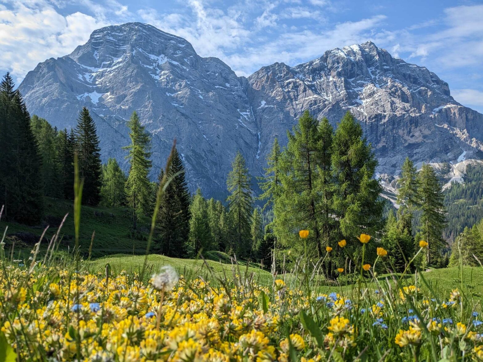
The hike up Pares Peak is one of the easiest peak hikes in the Dolomites, with superb views and a gentle walk back through lovely meadows.
Pares Peak Loop Hiking Map
Get the route by downloading the .gpx or .kml file below. For navigation with Maps.me on your mobile phone, simply download the .kml file and open to add it to the Maps.me bookmarks.
Location
The hike up Pares Peak starts from Parkplatz Ciurnadù, a car park near the village of La Valle. It’s about 10 minutes drive from the main road in the valley, up a windy but well-maintained road.
Tips
- You can stay at the start of this hike in a hotel with gorgeous views*.
- Pares Peak is known as Piz de Pares in Italian, and Paresberg in German.
- The only place for refreshments on this hike is at mountain hut Ütia Da Rit (open from mid-June, weather permitting) – a great spot with typical South Tyrolean food.
- For more hikes, check out our Italy Hiking Page.
Pares Peak Loop Hiking Route
Leave the car park via the steep gravel track heading up into the forest. The trail winds its way upwards through a mix of trees and lovely Alpine meadows, with several cute log barns along the walking route.

Keep following the signs for Pares, and there is little difficulty in finding the way. After about 3km from the start, you first leave the track along a signed but small path up through a meadow. It’s a bit steep but soon you reach a well-located bench for a pause.
Not much further, you’ll come to a log cabin and another junction. From here, the out-and-back hike starts to Pares Peak. If it’s bad weather or you feel too tired, you can miss out the peak and still have a lovely walk with nice views. For this shorter option, turn left, for the peak option turn right.
To the top of Pares Peak
There’s no real difficulty finding the route – just take the path left in a few hundred metres where it’s signed, and then there are no more choices. Now the main section of climb starts, with almost 200 metres over a relatively short distance to the top plateau. There are quite a few zigzags and the path is good, it’s just a matter of keeping going.
Before you know it, you’ll reach the lovely grassy plateau and have new views over to the other side of the ridge. The path bends left here and you can see the cross on the peak not too far away. Of note is a very scenically situated picnic bench, perfect for lunch if it’s too cold or windy at the very top.
Pares Peak Summit
When you’re almost at the summit, the path heads downwards a little to cross a gully, then up the other side. There are now two paths leading off from here – one heading directly to the cross and one continuing along the ridge. First, take the path to the cross, marked with red and white hiking signs, but not super clear.
At the cross you have great views, but you’ll note that you’re not actually quite on the highest point yet. To get there, head onwards from the summit down a little trail (the way you came up the last section is slightly easier, so you can instead return and then take a left at the little junction).
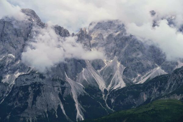
The highest point of Pares Peak, at 2396 metres, is actually on the right of the path. To get there, follow an unclear trail up a slightly scree-covered slope just after a big hole. If you find this a little scary, you can satisfy yourself with the cross, but from the highest peak you can see some dramatic rock formations on the slopes below.
After you’ve admired the views long enough, return back to the junction far below by the cabin. There is a tiny path that continues along the ridge and then down, but this isn’t advised unless you are very surefooted, fine with a little scrambling, and not at all afraid of heights.
Back at the junction, continue onwards. After a lovely section through the woodland you’ll return to the main track in a grassy meadow. Soon you’ll reach Ütia Da Rit (open from mid-June, weather permitting), a mountain hut serving food and drinks with amazing views.
Crusc da Rit
Continuing onwards along the easy track, about 700 metres after the hut you’ll come to a sign pointing left along a path to Crusc da Rit. This is definitely worth the detour, about 5 minutes each way. You’ll actually see there are two paths – one to a higher viewpoint and one to a lower viewpoint with a cross.
It’s worth checking out both as the views are quite different. However, if you only have time for one I’d recommend the lower viewpoint with the cross, this is Crusc da Rit (Cross Peak). From here there are excellent views across the grassy valley far below to the rocky Dolomite peaks on the other side.
Return to the track and begin to wind downwards. At the first obvious junction, take a left along the smaller path. This leads down to a small vegetation-covered lake, from where you head left back towards the car park.
The track continues downwards, through meadows and forests, always with good views. Eventually, you’ll reach a road. Turn left here and it’s almost five hundred metres along here to the car park and the end of the Pares Peak Loop Hike.
Guidebooks for Exploring the Dolomites


For more mountain hikes, check out our Germany Hiking Page or our Italy Hiking Page.
Related Posts