By Vicky · Published Jun. 15th, 2022 · Updated Nov. 21st, 2022
When you buy through links highlighted with an asterisk (*) on this site, we may earn a small affiliate commission at no cost to you.
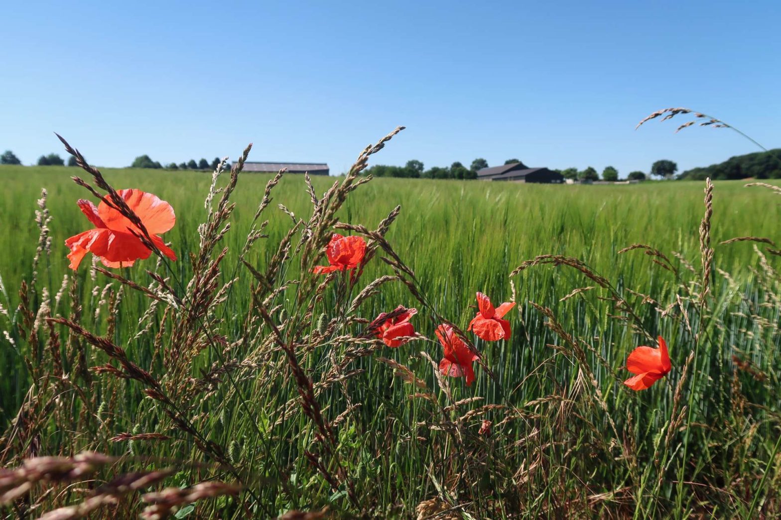
Stroll through the pleasant Imstenrader Bos before heading upwards to Putberg Plateau for fine views over the surrounding countryside as you wander through poppy-sprinkled fields of wheat and barley.
Imstenrader Bos and Putberg Hike Map
Get the route by downloading the .gpx or .kml file below. For navigation with Maps.me on your mobile phone, simply download the .kml file and open to add it to the Maps.me bookmarks.
Location

This walk starts from a small car park in Benzenrade Village. If this is full, there are plenty of other spots to park along the side of the road in the village.
Tips for Imstenrader Bos and Putberg Hike
- Parts of the trail can be muddy after rain – wear appropriate shoes.
- The route is shady to start, then through open fields. Bring a sunhat if it’s sunny.
- There are no cafes or restaurants en route, but Het Koffiehuuske is a nice little cafe/restaurant in the middle of Benzenrade for a drink and something to eat after you finish the hike.
Imstenrader Bos
From the car park, take a right at the triangular roundabout on a road through the wood. Take the first right along a dirt track by a farm and continue through the fields. There are nice views and often cows in the neighbouring fields. Roughly 700 metres from the road you enter the shady woodland of Imstenrader Bos.
Head upwards through the trees and right along a dirt path. There are many paths in this wood so it can be quite confusing. Keep heading towards the right-hand side of the wood near the top, and soon you’ll come out into a clearing. You can see a small metal turnstile gate – head through and in about 20 metres you’ll have a great view over the surrounding countryside and the city of Heerlen. In summertime, this field is full of long grass and beautiful wild flowers.
Head back through the turnstile and turn right up the muddy lane between the trees. You’ll soon reach a large paved path. Turn left and you are now on the Putberg Plateau, almost 200 meters above sea level.
Putberg Plateau
Continuing along the paved path, you’ll soon reach a main road. Just before this on the left corner is a picturesque castle you can peer at through the large iron gates. Head right along the cycle path by the main road to cross over the highway. On the other side, take the third path on the right, heading through some fields towards a farm.
Explore more of the Netherlands on our other walking tours
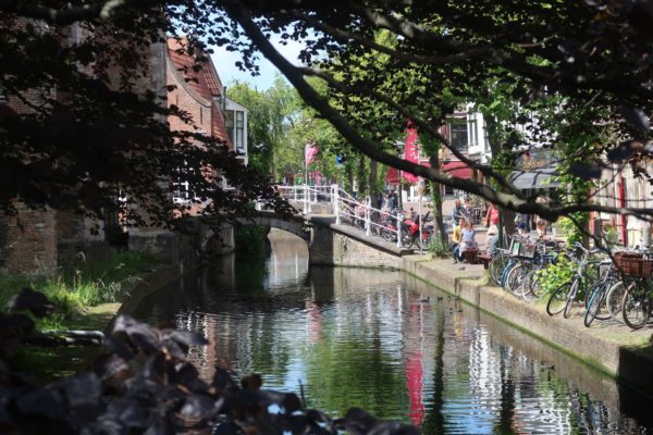
- Delft Walking Tour – near Rotterdam
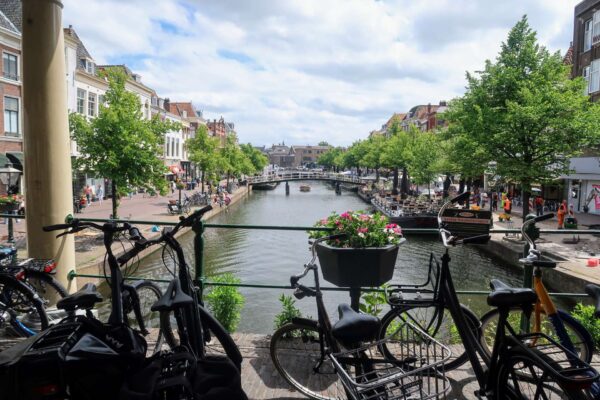
- Leiden Walking Tour – not far from Amsterdam
- Kinderdijk Windmills Walk – near Rotterdam
- Amsterdam Walking Tour – Amsterdam
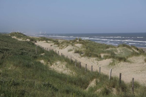
- Wassenaar Dunes Hike – not far from The Hague
Shortly before the farm head left and along a path bordering apple and cherry orchards. You’ll also see a lot of other fruits, vegetables and cereals grown in the fields as you walk on Putberg Plateau.
Continue straight until you reach a small road. Head right along the road and in roughly 100 metres take the smaller road heading off to the right. Soon you’ll reach another road. Walk right along the large cycle path by the road, then take the first left along a large dirt track heading upwards through some fields.
Head right on the track at the top, where there are good views over the surrounding fields. Keep your eyes peeled for birds of prey. Continue along the track and you’ll bend right, down to the same road again.
Old Lime Kilns and Limestone Quarry
Just before the road, you can see some lime kilns on your right, with an explanation sign (in Dutch). This is one of the only areas of the Netherlands where there’s a lot of limestone, hence the lime kilns.
Head right up the cycle path by the road, then left on a small path between two fields. You’ll reach some more lime kilns, then take the left path to Putberg Quarry (Groeve Putberg). Here the limestone was quarried to be used in the houses nearby. In Benzenrade Village you can see many older houses made of the stone quarried here.
Continue left through the wood, and then left again at a track to head to a main road. Turn right here under the highway, then first right along a small road. Take the walking path on the left by the edge of a field to reach Benzenrade Village.
Benzenrade Village
Head straight on along the small path until you reach the main road through Benzenrage Village. Turn right and continue. You’ll see Het Koffiehuuske shortly on your left where you can stop for a refreshing (or warming) drink or some food. Continuing further, you’ll see the cute fields and orchards in the middle of Benzenrade, then a small Chapel. The car park where you started is a few hundred metres further along the road.
Guidebooks to explore more of the Netherlands


If you enjoyed this walk, check out beautiful Brunssummerheide nearby, or explore the Loonse en Drunense Duinen National Park.
Related Posts