By Vicky · Published Nov. 29th, 2023
When you buy through links highlighted with an asterisk (*) on this site, we may earn a small affiliate commission at no cost to you.
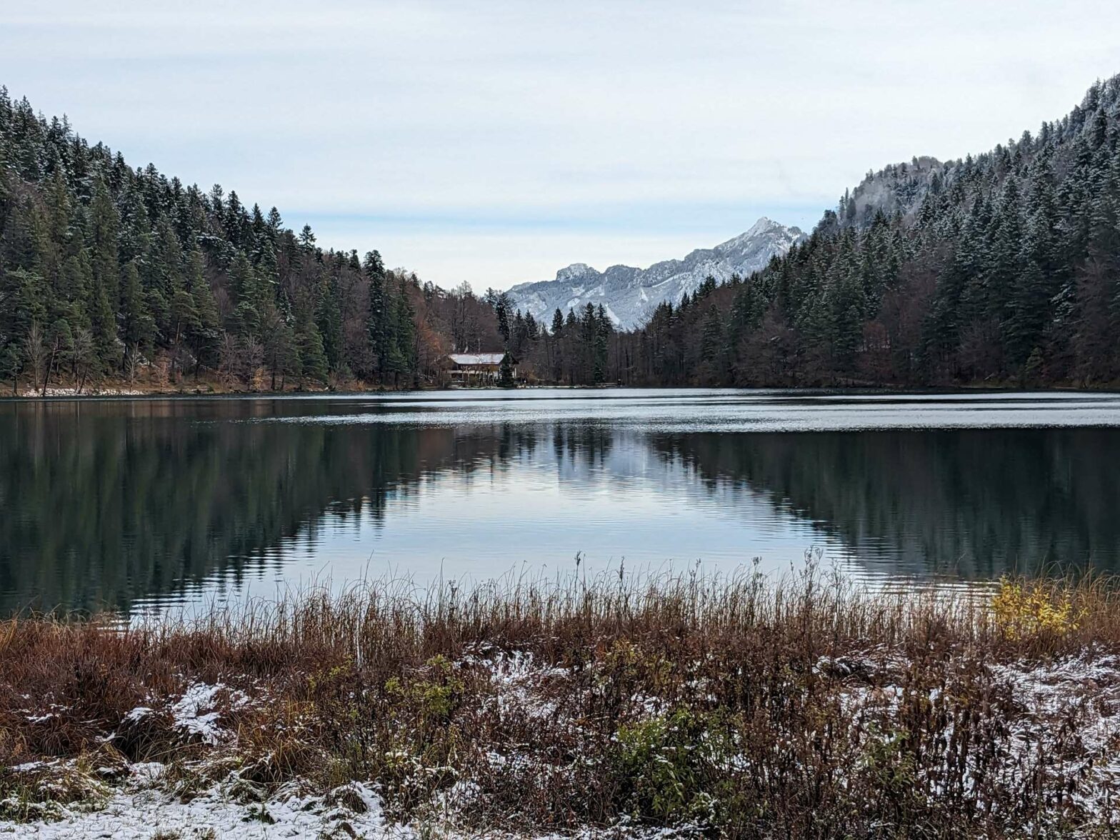
This easy walk around the Alatsee & Weißensee Lakes is perfect for any time of the year, for swimming in summer, or snowy views in winter.
Alatsee & Weißensee Lakes Trail Map
Location
The Alatsee & Weißensee Lakes walk starts from the Parkplatz Ostufer Alatsee (the car park on the eastern edge of the Alatsee). The car park costs €5 for the day and you can either pay via the Parkster App or with cash. It’s just 10 minutes from Fussen and the Castles or roughly 1.5 hour’s drive from either Munich or Augsburg.
Tips
- The routes around both lakes are easy flat tracks. The path downwards from the road to Weißensee Lake is narrow and can be slightly slippery when wet or in autumn when the leaves cover the trail.
- It’s possible to do this walk in the snow since it’s mainly on easy tracks.
- Why not stay right on the edge of the water in Alatsee Hotel*, or in one of the many hotels that overlook Weißensee*?
- After this walk, why not visit nearby Füssen or walk from town to the famous castles? Alternatively, check out our Germany Hiking Page for more great hikes nearby and for walking tours of the famous Bavarian cities.
Alatsee & Weißensee Lakes Walking Route
Walking Around Alatsee
Head out of the car park and turn left up the small road. This leads you to Alatsee, a gorgeous lake with mountain views. Walk around the lake in either direction and perhaps grab something to eat or drink at the Alatsee Hotel*. In summer you can swim in the lake, while in winter you can admire the snowy hills beyond.
For more views of the Alps, head up the track just east of the car park. This leads up through the forest. It’s an easy walk, but there’s quite a lot of climb. At the top is the Salober Alm, a mountain restaurant. There are great views from here, as well as a lovely Alpine meadow.
After walking around the Alatsee, head back down the small road you walked up. After about 300 metres, take the signposted path on the left. This leads downwards through the forest towards the lake. Before the path reaches the lake, it heads left and contours along the side of a steep slope. Keep an eye out for the interesting rock formations!
Walking Around Weißensee
Eventually, the path reaches Weißensee, where the walking becomes very easy. Continue left around the edge of the water, always sticking to the lakeside. You can swim in the Lake in summer, and there are a couple of places with beaches and flat grassy areas to lie on. There’s also a restaurant on the west side of the lake, with lovely views across to the mountains.
The route is simple as it just follows the water. You’ll pass a church and a couple of old buildings, before heading through a more marshy area. Eventually the path leaves the water and heads left. You follow a little stream to reach a small road. Turn right at the road and you’ll soon be back at the car park and the end of the Alatsee & Weißensee Lakes Walk.
After this walk, why not visit nearby Füssen or walk from town to the famous castles? Alternatively, check out our Germany Hiking Page for more great hikes nearby and for walking tours of the famous Bavarian cities.


