By Vicky · Published Nov. 25th, 2023
When you buy through links highlighted with an asterisk (*) on this site, we may earn a small affiliate commission at no cost to you.
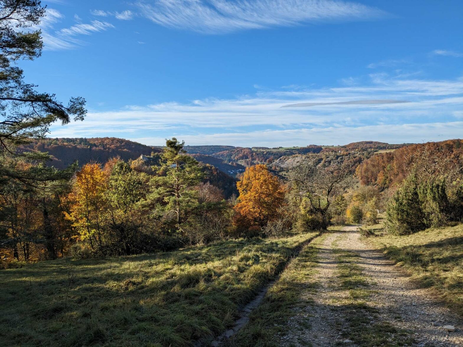
On this loop hike in the Altmühltal Valley between Mörnsheim and Solnhofen you’ll walk along lovely grassy ridges with views of rock pillars.
Mörnsheim to Solnhofen Hiking Map
Location
The Mörnsheim to Solnhofen Hike starts from a free car park near the centre of Mörnsheim. Alternatively, you can start this walk from the train station in Solnhofen, which is directly along the route.
Tips
- The Altmühltal Valley is made of Jurrasic limestone, which contains fossils of dinosaurs. The Danube River carved out the valley, before changing its course, and now the Altmühl River flows through the valley,
- For food and drink, there are a couple of places in Solnhofen near the river, and one restaurant along the route – the Gaststätte Schnorgackl.
- After this walk, why not visit the cute town of Donauwörth, or go on another walk in the Altmühltal. Alternatively, check out our Germany Hiking Page for more great hikes nearby and for walking tours of the famous Bavarian cities.
Mörnsheim to Solnhofen Hiking Route
From the car park in Mörnsheim, head towards the centre of the village and along the pedestrian street. Take the first right just before the pale green building with the fancy tower, and follow the road as it bends to the left. Then take a right just before the Rathaus (Town Hall) to cross a small stream. Head left on the other side, then take the first right which begins to lead upwards.
Very soon you’ll leave the village of Mörnsheim and come out onto open grassy land dotted with juniper trees. Take the path as it heads right and upwards and you’ll get to a couple of benches with great views. Continue onwards to the small building and along the track on the right-hand side.
Follow the track along the edge of the open and left as it bends a corner. The route now leads across the top of the plateau through several fields, with good views across the Altmühltal Valley.
After about 1 km you’ll reach the headquarters of a quarry area. You can’t see the quarries from this route as they are hidden by the trees, but it’s very obvious on satellite imagery such as Google Maps. The rock they are taking out here is high-quality limestone, and you can see it in some of the houses nearby. As you walk through the factory area you can see limestone rocks of all different sizes, from small roof tiles to paving stones and giant blocks.
The route leads straight through this quarry area, and then right back into the woodland. Take a right at the next junction and head downwards all the way to the Altmühltal River. You’ll return to this car park by the river later, but for now, head across the bridge.
The Twelve Apostles Rock Pillars
Walk through the cluster of buildings, then left on the far side back into some fields. The route now leads right and to the top of a small grassy hill covered in juniper bushes. This section is one of the best parts of the hike, as you’re walking along the top of the Twelve Apostles, a collection of tall rock pillars.
The small path continues along the top of the cliffs, through grassland and back into some trees. Eventually, you reach a small picnic area and car park on the edge of Solnhofen. Turn left here and make your way down to the bridge across the river and the railway. Head left on the other side, past the train station, then back across the railway.
From here the path, also a cycle track, roughly parallels the river. You’ll pass the car park you were at earlier, then continue through more flat fields and across the railway once again. There are great views from here of the Twelve Apostles. Walking along the edge of the woodland, the track becomes a road and there are more impressive rock pillars on your right.
Once you reach the middle of a collection of houses, turn right to head back to the centre of Mörnsheim. The car park and the end of the Mörnsheim to Sollnhofen loop hike are roughly 1 km further.
After this walk, why not visit the cute town of Donauwörth, or go on another walk in the Altmühltal. Alternatively, check out our Germany Hiking Page for more great hikes nearby and for walking tours of the famous Bavarian cities.


