By Vicky · Published Jul. 3rd, 2023 · Updated Aug. 13th, 2023
When you buy through links highlighted with an asterisk (*) on this site, we may earn a small affiliate commission at no cost to you.
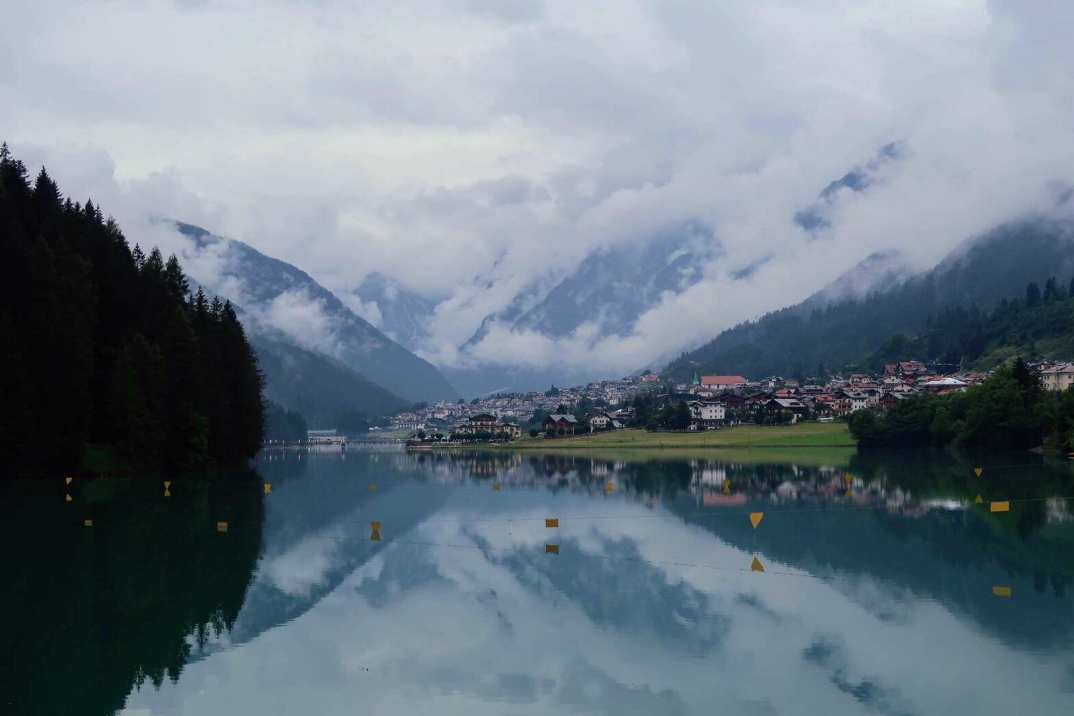
The easy walk around Lago di Santa Caterina is a beautiful lake walk with views of the mountains, perfect for a short stroll.
Lago di Santa Caterina Walking Map
Get the route by downloading the .gpx or .kml file below. For navigation with Maps.me on your mobile phone, simply download the .kml file and open to add it to the Maps.me bookmarks.
Location
The Lago di Santa Caterina walk is a loop walk you can start from the road between Santa Caterina and Auronzo in the Sexten Dolomites. There’s a convenient car park opposite the church, at the far end of the lake, or nearer Auronzo.
Tips
- This is a loop walk around Santa Caterina Lake, so it doesn’t matter where you start.
- The trail is easy, with a small section of pavement by a road and mostly a fairly flat gravel track.
- For more walks and hikes, check out our Italy Hiking Page.
Lago di Santa Caterina Walking Route
From the car park opposite the church, head right to walk along the pavement by the road heading towards Caterina. This is the only section of the walk that’s by a road, the rest is on a nicer gravel trail. After about 800 metres, you’ll reach the dam at the end of the reservoir.
There are some really great views from this dam, looking back towards the scenic town of Auronzo with reflections of the church in the lake. If you look down the other side of the dam you can see the turquoise water far below, flowing into a river heading down the valley.
Walking along the Lake’s Edge
On the other side of the dam, head right along the nice track through the edge of the forest. The route is very simple from here, just sticking to the edge of the lake. You’ll pass the first bridge (heading back across here would make a shorter walk of only 2.5 km).
About 1 km after the bridge, you’ll pass a lakeside cafe (Chalet Stella Alpina – Bar Canarino), serving hot and cold drinks, and ice cream. Just past here is the next bridge which you cross over. To the left is the river flowing into the lake, with now some nice views to your right down the entire length of the lake.
On the other side, take the first right to keep to the edge of Lago di Santa Caterina. Soon there’s a gentle climb uphill before the path continues flat through some fields. After detouring around an inlet in the lake shore, the path heads gently downhill again to reach the water’s edge.
From here it’s not far back. If you’re parked in the car park opposite the church, there’s a small path through the fields to some steps which lead up to the car park. If you’re parked elsewhere, follow the trail through the fields until you’re back on the road. This is the end of the Lago di Santa Caterina Walk.
For more mountain hikes, check out our Italy Hiking Page.


