By Vicky · Published Jun. 14th, 2022 · Updated Nov. 2nd, 2023
When you buy through links highlighted with an asterisk (*) on this site, we may earn a small affiliate commission at no cost to you.
Gunung Pulai is a real mountain hike through the Malaysian jungle, easily doable as a fun day trip from Singapore.
Gunung Pulai Hiking Trail Map
Get the route by downloading the .gpx or .kml file below. For navigation with Maps.me on your mobile phone, simply download the .kml file and open to add it to the Maps.me bookmarks.
Page Contents:
Location
This walk starts from a road on the west side of Gunung Pulai. You can park on the edge of the road – it’s a small fee to drive in. To drive here from Singapore (either Woodlands Causeway or Tuas Link) takes 40 minutes to just over 1 hour once you’re on the Malaysian side.
If you don’t have a car, you can take a Grab once on the Malaysian side or catch a bus from JB Sentral bus terminal to Kulai and then take a Grab from there. The bus takes around 1 hour, and the final Grab about 15 minutes. We stayed overnight in Kulai so we could get an early start on the next day on the mountain. However, you could also stay overnight in Johor Bahru where you can find both cheap and luxury hotel options.
Our recommendation for a hotel in Kulai is Creator Hotel*, which is nothing fancy but is a cheap and decent place to stay. It’s in central Kulai, near the bus stop, has good security and is generally clean.
If you do take public transport, you have the adventurous option to hike right over Gunung Pulai Mountain Range from the west to the east side, and then take a shorter Grab (about 30 minutes) back to Tuas Link or the Causeway.
If you don’t have a car and don’t want to rely on public transport and/or Grab, you can charter a private car with a driver* for the day. They will pick you up from where you live in Singapore, drive you across the border and wherever you want to go for the day before returning to Singapore.
Tips for Gunung Pulai Hike
- Early mornings are a good time to enjoy this walk to avoid the heat of the day and be back in Singapore by late afternoon.
- You don’t need a permit to walk up the track, but you need a permit and guide to hike along the trails through the jungle (see Permit Box below).
- Take plenty of water and snacks. It’s hot work and you sweat a lot. With no water on the trail, carry at least 2 litres per person.
- The trails are steep and the mud can be very slippery when wet. In bad weather, use the paved road.
- It makes more sense to walk up the trails and down the road.
- We combined this hike with a heritage walking tour around Johor Bahru on Saturday. We stayed overnight in Kulai, though there are more accommodation options in Johor Bahru, and did this hike on Sunday before returning to Singapore (after the inevitable quick shop!).
- For a weekend in Johor, check out our Walking Trail around Johor Bahru. Or discover other great hikes on our Singapore Hiking Page.
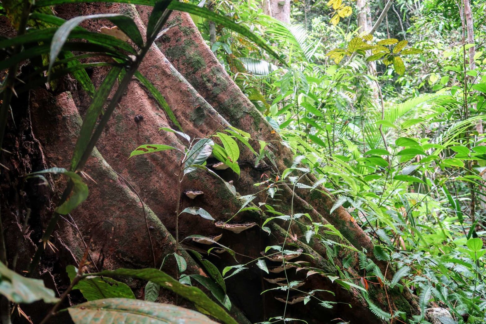
Gunung Pulai (Mount Pulai)

From the road, head upwards towards the gate. Before the gate, instead of trudging up the paved road, we headed right and up the steep path through the jungle. We kept on this trail all the way to the top. There are markers on the trees and posts on the ground, so it’s not that hard to follow.
Gunung Pulai Permit
If you just walk up the paved road to the top of Gunung Pulai, you do not need a permit. However, if you want to hike on the smaller trails through the jungle, you officially need a permit and a Forest Mountain Guide (in Malay a Malim Gunung Perhutanan, or MGP). In reality, most people hike without a permit or guide, but it’s best to be safe. An online system is currently being developed to book, but for now you have to contact one of the following people via Whatsapp for a permit:
| Name | Puan Khairunnisa binti Mayang |
| Phone | +607-2242211 / +6019-9065994 |
| [email protected] |
| Name | Puan Noriziana binti Mat Ropi |
| Phone | +607-2242211 / +6011-11972257 |
| [email protected] |
You need to submit the application at least 3 days before the hike. Permits cost RM10/30 for citizens/non-citizens. For more information, email [email protected].
Whether you have a guide or not, it is highly recommended that you have an offline map such as Maps.Me that shows your position and the location of the trails. If you do get lost it would be hard to find yourself again without this.
You can also join the trail through the jungle after walking 1 km up the road. It’s then signed on your right and you should see the distance markers. Taking the road initially misses out on some climb since the road heads around a small hill, while the jungle path heads right over it.
After the first marker which says 0 metres distance, it’s then a steep climb up. A few hundred metres later, the path becomes less steep and you’ll find yourself on a ridge. After a brief respite of relatively flat walking, you’ll soon reach the final steep section up to the highest ridge at the top of Gunung Pulai mountain range. There are some large muddy ‘steps’ here with ropes to help, but the ropes are not needed since each ‘step’ is quite flat and it’s not that difficult.
Gunung Pulai Peak
Once you reach the top ridge you’ll really notice that the land drops away steeply on either side. Head left along the path at the top, and you’ll soon reach the unexpected top. It’s unexpected because huge granite boulders appear out of nowhere. Because the very top of Gunung Pulai is closed to the public, this point is the unofficial peak (though it’s not quite the highest point you’ll reach.
There are some views from the granite boulders, though there are better views slightly further along the ridge. You’ll walk through some green ferns and on the left a small clearing at the edge of the ridge lets you look over the tree-covered mountain ridges below.
Continuing further along the ridge, you’ll soon reach the paved road. Head upwards and you can hike about 600 metres further before you reach a no-entry trespassing sign. From here there are some views, but there’s a better viewpoint nearby.
To reach the better viewpoint head slightly back down the road and left up to some transmitter towers. Head along the path at the edge of the fence and just around the fence corner, you’ll reach a lovely view and a Malaysian flag. From here you can see all the way down to the outskirts of Johor Bahru.
Hiking Back Down Gunung Pulai
The safest and easiest way down is to take the paved road. It’s quite quick, especially compared to climbing upwards on the trail through the jungle. You’ll soon end up back at the road and car park at the bottom of the mountain.
Alternative Route Down
If you didn’t drive but came by public transport (i.e bus & Grab), there is an alternative route down that leads to the east side of the mountain, from where it’s possible to get another Grab back to central Johor Bahru. This route is explained below.
Adventurous Route to the other side of Gunung Pulai
This route down was fairly adventurous, and only for those with hiking experience. Please see the WARNINGS below. Maps.Me or some other map on your phone with GPS is essential in case you get lost. The path is fairly well marked, but there are a couple of route choices and it’s much more remote – there are fewer people to follow, especially in the beginning.
This longer route is 13 km with 680 metres climb. It’s quite a lot tougher than heading back down the same way because it involves climbing a second peak when you’re already tired! It’s only an extra 100 metres up or so, but it feels a lot further. Make sure you have enough water.
There are some lovely views on this route, actually better than the normal hike. It’s also nice to wander by yourself in the middle of the jungle and listen to the sounds of monkeys and birds. We were extremely lucky and even saw a Raffles Banded Langur!
Alternative Route Brief Description
From the viewpoint at the edge of the transmission towers, the path heads down from the next fence corner along. It doesn’t look altogether promising but this is the correct trail. Confirm with your phone GPS and map. The route heads mainly downwards with a few smallish uphills, before a much longer and tiring climb to another peak. Make sure to head left to the viewpoint, a great point for a snack and a refreshing break.
From this viewpoint, continue heading down, down, down and checking your map every so often. There are some minor stream crossings, and eventually you reach a fence with a gap in it that leads out of Gunung Pulai Recreational Forest and into an overgrown palm oil plantation.
The Blue Quarry, or Tasik Biru
Continue along by the fence and you’ll soon spy the emerald-blue quarry on your left. Be very careful when taking photos of the quarry – it’s not Singapore – there are no barriers between you can a very long drop. The cliff edges are unstable so keep way back.
There’s a very steep and sometimes slippery path right down by the quarry, or head back out to find a gentle track that eventually winds its way down to the bottom and meets up again with the steep path. Both ways come out in a muddy flat wasteland area and you’ll soon reach the gravel road on the other side.
Grab won’t be able to reach you here, so you must head further out onto the main road. Either follow the gravel road, or head through the flat gravel area ahead of you, opposite where you met the road. You need to head left through the middle of here and you’ll come out at some form of grassy park with a car park on the left. From here, or the road just nearby, a Grab can find you and take you back to Johor Bahru.
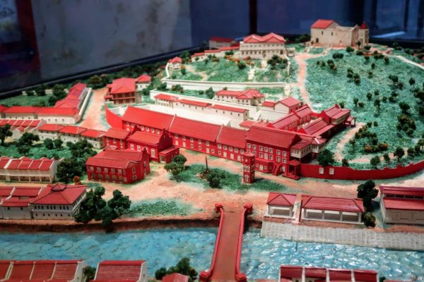
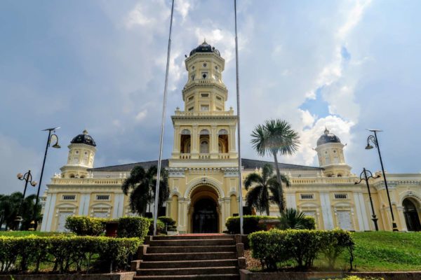
Discover more of Malayasia in these Cultural Cities
WARNINGS for the Alternative Route
Firstly, this route is not that well-travelled, especially between the top of Gunung Pulai and the top of the secondary peak to the east. There won’t be any people to help you if you have an accident. After that, you will see some local hikers who climb from the east of the mountain range only up and back from this secondary peak. Make sure you have Maps.Me, or another app that shows the trail and your location on it. Check regularly to make sure you stay on the trail.
Secondly, the lower part of this trail near the blue quarry is technically out of bounds and you are trespassing. The several local hiking groups we saw didn’t seem to care about this, but one group did tell us we were technically trespassing. There is a sign about this (mostly in Malay with some English) when you leave the forest just before you reach the road at the bottom.
Thirdly, after you leave the jungle you will first arrive on a dirt road. Grab drivers find it extremely hard to get here, I’m not even sure if public cars can drive here. You must walk 1 km further, through a slightly strange gravel pit area along some dirt trails to reach a car park. This is where many hikers park to start the hike. From here, you can easily order a Grab.
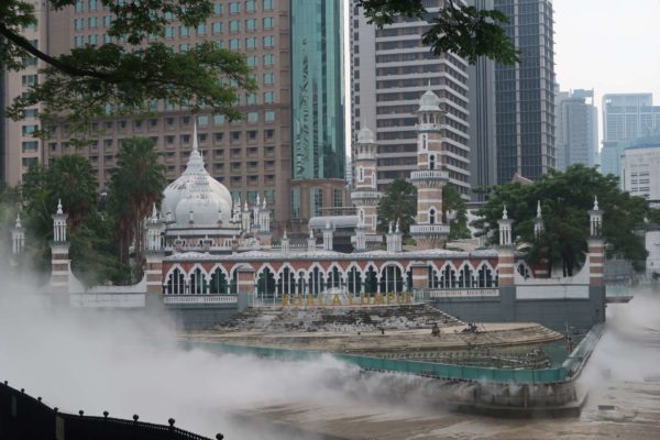
I hope you enjoyed this guide to hiking Gunung Pulai. To explore the nearby city, check out our Johor Bahru Walking Trail, or travel further afield to explore Malacca or Kuala Lumpur. For other hiking ideas check out our Singapore Hiking page.
FAQs for Gunung Pulai Hike
Gunung Pulai is a mountain located in Johor State, Malaysia, roughly 25 km northwest of central Johor Bahru. It’s roughly 40 minutes to 1 hour’s drive from the border with Singapore.
The hike up and back down Gunung Pulai from the western side takes roughly 4 – 5 hours. It’s about 9.3 km in distance with 570 metres of climb.
Related Posts

Thanks for the info on the mountain. Just a few queries: Is it safe to park at the side of the road? Puntured or deflated tires? No “legal” parking lots where I can pay someone to look after?
Do I need to apply for permit?
Thanks
Hi Gideon,
You don’t need a permit to hike up the main track, but you do to walk up the trails through the jungle – see box in the text for details. On the road off the main highway towards the base of the trail, you pay a small fee to continue driving to the start of the trail. There are then some small car parks by the side of the road, but when these are full you can park on the side of the road. Since it’s a popular place to hike, especially for Singaporeans on the weekends, there are often friendly police officers sitting in a booth near the base of the trail. They make sure everything is fine and criminal incidents are very rare. Near the cars there are also people selling drinks and snacks and other hikers arriving/leaving so it feels overall very safe.
Hope that helps!
Hi Vicky,
Thank you for the reply. I am reading this a bit late, as I went up yesterday. But I used the paved road. I will try again by the trail another time.
Cheers!
Glad you got out there and had a go!
Hi there, thanks for your detailed article! Would you happen to know if it is convenient to get a grab from the end points? I’ve read a review that reception is bad near the forest area. Is that a problem?
As others suggest, reception is not good near the forest. However, if you walk to out to the main road (about 750 metres from the start/end point) you will get good reception there. If you take the alternative route over the hill and walk to the car park mentioned (search google maps for Pulai Kangka hike point), then there is definitely phone reception here.
Hi Vicky,
Does the authority required us to hire a licensed guide before we are allowed to climb Gunung Pulai?
Thanks.
Hi Johnnie, you need a licensed guide to walk up the trails through the jungle to the top of Gunung Pulai (as described here), but not if you just walk up the main paved track. See the box in the text for details. The paths are all fairly clear and well-signed, but make sure you have a map app with trails such as Maps.Me so that you don’t get lost.
WOW. The clarity you provide is amazing….Super thorough.
I am seeing some hikers venture to the waterfall somewhere nearer to the top of the hill (as opposed to the easily accessible one near the toilets at the bottom).
Wonder if you have any info on that..
Hi Terence, I’ve updated the map to show the waterfalls and the path needed to walk to the waterfall near the top. Hope this helps!
What is written on the red signboard at Entry to the jungle trail? It seems is like a warning to get a permit or a license guide before enter the jungle trail..
Hi Ken,
The sign says it’s a restricted area, so you shouldn’t leave the trail and you shouldn’t hike alone. You should get a permit and a guide to walk up the trails through the jungle, but not to walk up the main track.
Hope this helps!
The Johor Forestry of Malaysia replied a permit is required if you are walking up the forest trail. The main road trail does not require a permit. In other words, you are lucky not expelled by the forest rangers
Thanks for letting us know, this is currently not clear when you arrive so should be better signposted or advertised online.
Many thanks for the very detailed info!
Hi,
May I ask if theres a guided tour for this trekking from SG?
Thanks.
Hi Rodney, there are not guided tours directly from SG. An alternative would be to hire a car with driver from SG to take you to and from the end point, and separately to hire a mountain guide for the walking part. I hope that helps.
Nice article! Where did you stay in Kulai – any recommendations?
Thanks for the comment! We stayed in the OYO 429 Sunlight Hotel, but I think it’s closed down now. It was ok, cheap but nothing special. I would now recommend Creator Hotel, since it’s in central Kulai (and near the bus stop from Johor Bahru), has good security and is generally clean. It’s nothing fancy, but it’s a decent place to stay. There aren’t too many other good options.