By Vicky · Published Jan. 3rd, 2024
When you buy through links highlighted with an asterisk (*) on this site, we may earn a small affiliate commission at no cost to you.
This short walk on Skipton Moor is a lovely route with wild moorland, interesting cairns and great views over the Yorkshire countryside.
Location
This Skipton Moor walk starts from Shortbank Road on the edge of Skipton. You can park on the side of the road. It’s about 20 minute’s walk from the centre of town and half an hour’s walk from the railway station. There are also buses you can take from the train or bus station to near the start of this walk (Bus 16/16A or Bus 73, Hillside Crescent Bus Stop).
Skipton Moor Walking Map
Get the route by downloading the .gpx or .kml file below. For navigation with Maps.me on your mobile phone, simply download the .kml file and open to add it to the Maps.me bookmarks.
Tips
- The track up to the moor is quite steep and can be muddy, wet and slippery after heavy rain. Wear sensible shoes!
- The map to take for this hike is the Ordnance Survey Map 2 of the Southern & Western Yorkshire Dales*.
- For other hikes nearby, try the short hikes up Beamsley Beacon, Almscliffe Crag, Sharp Haw and Flasby Fell, or Embsay Crag.
- You can find other Yorkshire ideas in our Yorkshire Guide.
Skipton Moor Short Walk Route
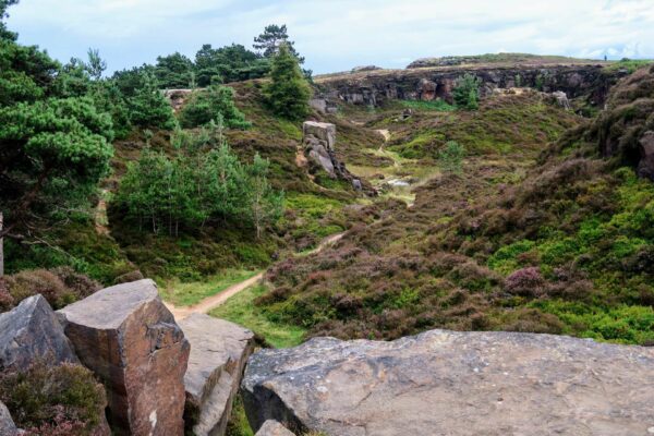
Continue walking upwards on Shortbank Road and onto the track which heads into the woodland. It can be quite muddy here. Soon you’ll come to a broader section of woodland. There are several paths heading upward, it doesn’t really matter which one you take, they all lead to the top. The easiest path is the one that bends to the right, then back around to the left.
At the top of the woodland head right, over the style in the wall. You’ll now be walking on Skipton Moor. Keep to the right, heading upwards onto the open moor. You’ll pass a bench with great views on your left, before continuing upwards.
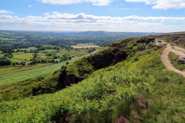
Head straight on and follow the main path as it bends around the head of a stream. The path then leads up to the top of the nearby ridge you can see. From here you can see over the other side towards Ilkley Moor and the Aire Valley.
The Top of Skipton Moor
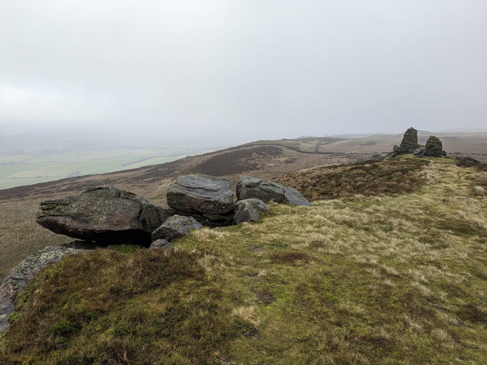
Shortly before the high wall and rocks on your right, take a left at the path junction to walk straight towards the top of Skipton Moor. It’s slightly steep just before the very top and the path isn’t too clear. Head towards the two large, pointy cairns and it’s a fairly easy route.
From the top ridge of Skipton Moor you have great views all around. There’s a trig point on top, and then the ridge descends slightly on the other side. There is a path heading steeply downwards from the trig point, which can be slippery and muddy when wet. For an easier route, continue walking on the ridge until the next cairn. A few meters after this there’s a small, grassy path leading gently downwards to the right.
This path bends right, around a small hill, and then left again, towards a wood. There’s a short section of slightly steep downhill before a style across a wall onto the large Moor Lane. Turn left and you’ll soon get back to the top of the steep woodland. Turn left down the woods and you’ll soon reach your car and the end of this short walk on Skipton Moor.
The Rough Guide to Yorkshire* is a great little guidebook and has a section on Ilkley and things to do nearby. The Yorkshire Dales Pathfinder Guide* has a good collection of short hikes suitable for the entire family and the Guide to North Yorkshire Pub Walks* has some fun walks in the Dales for those who are hungry and thirsty.
For other short countryside hikes nearby, why not walk up Almscliffe Crag, Sharp Haw and Flasby Fell, Beamsley Beacon, or Embsay Crag.


