By Vicky · Published Sep. 16th, 2022 · Updated Nov. 24th, 2022
When you buy through links highlighted with an asterisk (*) on this site, we may earn a small affiliate commission at no cost to you.
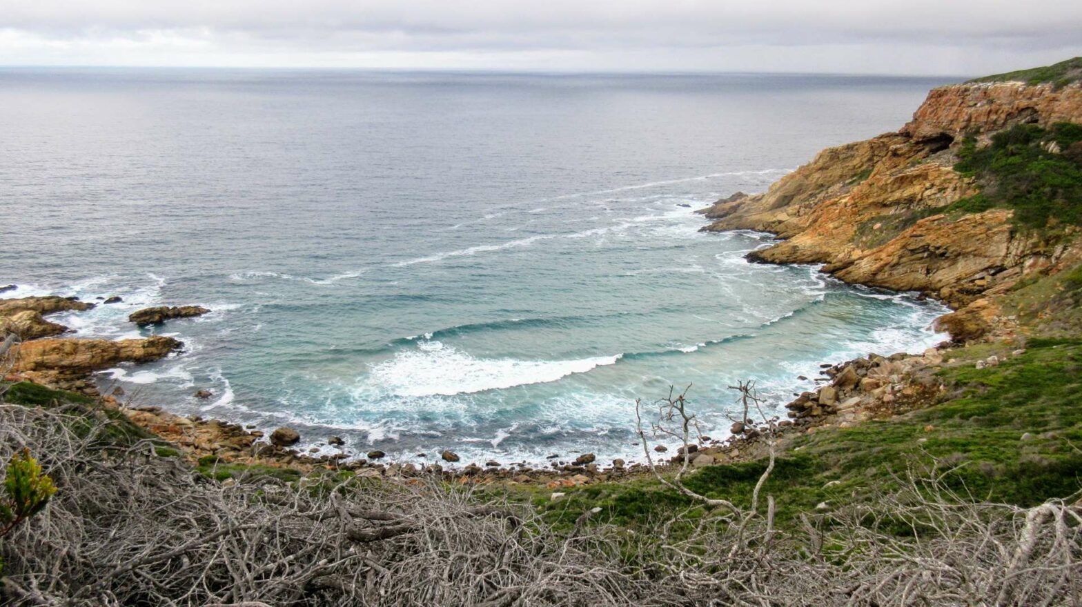
The St Blaize Hiking Trail Loop is a gorgeous hike along the clifftop with great ocean views, returning through the town of Mossel Bay.
Location
This walk starts from the car park on Point Road in Mossel Bay.
Map of St Blaize Hiking Trail Loop
Get the route by downloading the .gpx or .kml file below. For navigation with Maps.me on your mobile phone, simply download the .kml file and open to add it to the Maps.me bookmarks.
Tips
- It can be windy by the coastline, so bring at least a light jacket.
- There’s little shade so bring a sunhat, sunglasses and sunscreen.
- This walk is fairly easy, but not for those with a fear of heights. Decent hiking shoes are recommended as it can by slippy.
- For navigation on this hike you can follow the signs in combination with the offline maps app Maps.me.
- Check out other things to do in Mossel Bay, or find more Hikes in South Africa.
The St Blaize Hiking Trail Loop described here is a modification of the original St Blaize Hiking Trail, which is a 14 km one-way trail from Mossel Bay to Dana Point. We walked about 3.5 km along the official trail before cutting right and back through town to make a 7 km loop in total. We didn’t have transport to do the one-way trail and didn’t fancy hiking the 28 km out-and-back route.
St Blaize Hiking Trail Loop Route
From the car park on Point Road, first spend some time exploring the rocky beach area. Then make your way around the Point Hotel and across the large car park to the steps in the corner at the far side. Here you’ll see signs for the St Blaize Hiking Trail. In general, the trail is both well-maintained and well-signed. Head up these and to the large overhang above. There are wooden walkways around the overhang and explanation boards describing how ancient humans may have lived in the cave.
Along the Cliffs on the St Blaize Hiking Trail
Continue along the trial, with the Cape St Blaize Lighthouse Complex above you on the right. There are already great ocean views to the left. The path heads upwards on a fun trail by the cliffs. This is the steepest section of the hike. As you walk along, remember to look out for dolphins and whales in the cold water below.
As you continue on, the path flattens out. There’s beautiful scenery all around. The hiking trail follows the top of the cliffs around the lovely bays carved out of the rock.
After about 2.5 km you’ll reach a particularly perfect, semi-circular bay filled with deep blue water. We walked all the way around this bay to the far side and then turned back. On the inland side of the cove, there’s a small path that leads up by a fence to a road.
Heading Back through Town
Follow the road left and then as it bends right. If you keep following this road, after just over 1 km you’ll be in the centre of Mossel Bay. Turn right on one of the main streets and this will lead you back towards the coastline. Walk left at the caravan park near the ocean. You’ll reach a lovely sandy beach with a paddling pool for swimming and a couple of places to eat. From here it’s just a few hundred metres walk right, along the edge of the ocean, to the car park where this hike started.
I hope you enjoyed the St Blaize Hiking Trail Loop. After the hike, check out other things to do in Mossel Bay, or for many more hikes in South Africa, see our South Africa Hiking Guide.
FAQS
The trail is officially a one-way 14 km long hike. However, the hike described here is an alteration that forms a 7 km loop.
Dogs are allowed on the trail but must be kept on a lead at all times.
The trail starts in either Mossel Bay from the car park on Point Road or from the other end at Dana Bay, west from Mossel Bay along the coastline.


