By Vicky · Published Aug. 28th, 2023 · Updated Oct. 7th, 2023
When you buy through links highlighted with an asterisk (*) on this site, we may earn a small affiliate commission at no cost to you.
A beautiful easy walk across Murnauer Moos, with marsh, moorland, forest, and incredible views to the Alps.
Murnauer Moos Map
Get the route by downloading the .gpx or .kml file below. For navigation with Maps.me on your mobile phone, simply download the .kml file and open to add it to the Maps.me bookmarks.
Location
The Murnauer Moos Walk starts from the Wanderparkplatz Murnauer Moos near the town of Murnau am Staffelsee in Bavaria.
Tips
- The car park is large, paid (cash, card or the EasyPark App), and contains a small information centre and toilets.
- ‘Murnauer Moos Rundweg’ signs mark this hiking route, though the signs can sometimes be difficult to find.
- The Alpenhof Murnau* is a gorgeous hotel near the start of this hike with a swimming pool, views of the Alps and more.
- If it’s warm enough, you can swim in Staffelsee after the walk. There’s a car park right by the swimming area.
- There are no refreshments on this walk, only at the Gaststätte Ähndl just before the end of this hike.
- In spring you’ll see many wildflowers, while in summer the heather is in bloom, and in autumn the leaves change colour.
- For more hikes check out our Germany Hiking Page.
Murnauer Moos Walking Route

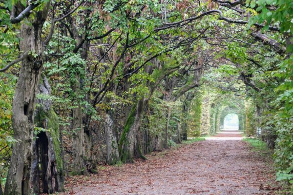
From the car park, head out onto the minor road you drove in on and turn left. After a few hundred metres you’ll see an old church and the Gaststätte Ähndl on your right, with the trail leading off to the left and into the Murnauer Moos.
The first third of this walk is along the edge of a stream flowing through this wetland area. It’s a very easy, flat gravel trail that leads through a mix of open and slightly shady woodland. Look out for beavers in the stream, though you’re more likely to just see the small dams they’ve built across the water.
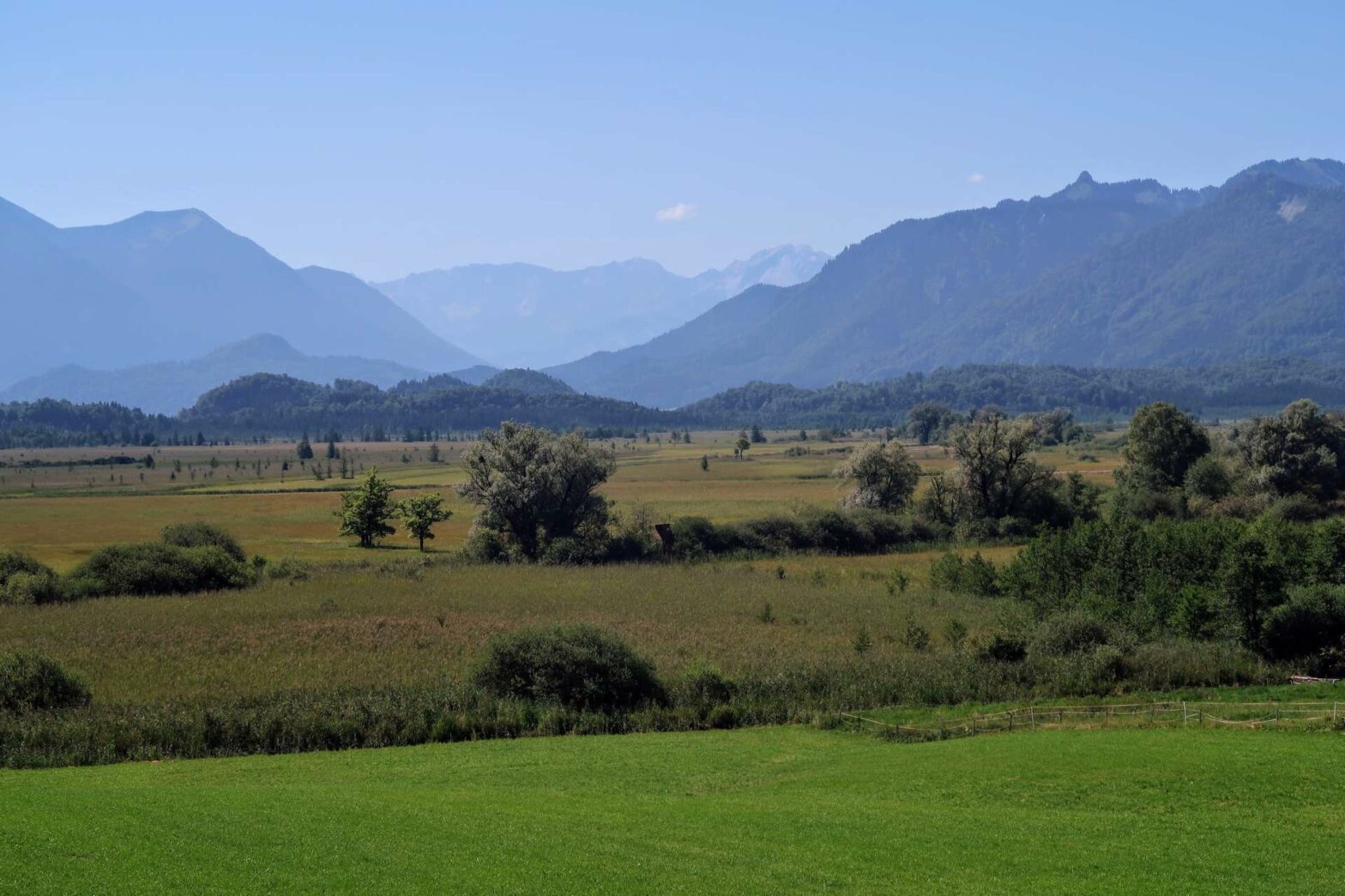
On either side of the path you’ll see tall reeds, wildflowers, and in the distance the high Alps, including Zugspitze, the highest mountain in Germany.
Just over 4 km from the start, there’s a signed path junction with the Murnauer Moos Rundweg route heading right across the stream and up into the forest. It’s rather cool and damp in the forest, which covers a raised area of land within the flat Moos. Keep following the main track straight onwards. At a Y-junction, take the left (if you look closely, it’s signed but the sign is slightly hidden). This leads you to the Bohlenweg.
The Bohlenweg
The Bohlenweg is the name given to the section of path that leads through the area of high moorland within the forest. It’s mainly on boardwalk, as the ground below can often be very wet and boggy. Once you walk through the gate into the new section, the trees begin to disappear and you’ll start to see heather and other typical moorland plants. This is a lovely section of the Murnauer Moos walk.
After a kilometer or so, the Bohlenweg boardwalk ends and you return back into the forest. However, soon you leave the trees again and enter the little village of Grafenaschau. The route leads along the streets here, then slightly downward into the neighbouring village of Moosrain.
Panoramic Views
At a bend in the road, the path leads off left, up and into the trees again. Soon you’ll reach a railway line, and the path continues along here. Since it’s slightly elevated, there are great views from here over the entire Murnauer Moos, with the high Alps as a backdrop.
Continuing onwards, you’ll soon come to an open field with a wooden cabin. There are a couple of benches here and photos of the panorama in front of you, labelling all the mountains. After admiring the gorgeous view, continue to the edge of the field, then left a few metres to the edge of the forest where you take a right.
The route now leads back downhill and then through some hay meadows all the way along and back to the Gaststätte Ähndl. From here, it’s a few hundred metres to the car park and the end of the Murnauer Moos Walk.
Guidebooks to explore more of Germany


Check out our Germany Hiking Page for more great hikes nearby and for walking tours of the famous Bavarian cities.
Related Posts