By Vicky · Published Nov. 17th, 2023
When you buy through links highlighted with an asterisk (*) on this site, we may earn a small affiliate commission at no cost to you.
On this loop hike between Wellheim and Dollnstein you’ll see cool rock formations, beautiful forest and impressive river valleys.
Wellheim to Dollnstein Hiking Map
Get the route by downloading the .gpx or .kml file below. For navigation with Maps.me on your mobile phone, simply download the .kml file and open to add it to the Maps.me bookmarks.
Location
The Wellheim to Dollnstein Hike starts at a large, free car park on the edge of Wellheim. Alternatively, you can get the train to Dollnstein Station, from which there are trains to Ingolstadt and Treuchtlingen every hour.
Tips
- The Altmühltal Valley is made of Jurrasic limestone, which contains fossils of dinosaurs. The Danube River carved out the valley, before changing its course, and now the Altmühl River flows through the valley,
- There are a couple of places to get refreshments both in Dollnstein and in Wellheim.
- After this walk, why not visit the cute town of Donauwörth, or go on another walk in the Altmühltal. Alternatively, check out our Germany Hiking Page for more great hikes nearby and for walking tours of the famous Bavarian cities.
Wellheim to Dollnstein Hiking Route
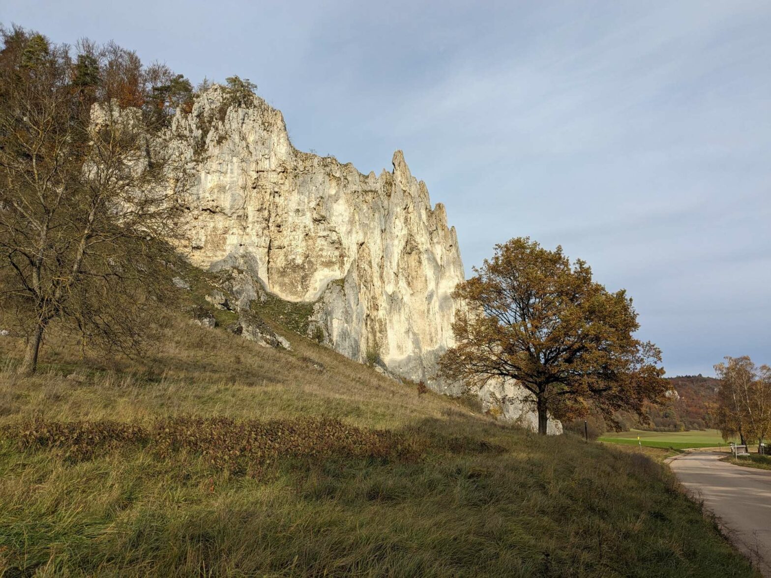
From the car park in Wellheim, you can already see some impressive rock pillars on the other side of the road. At the weekend, these strange rock formations are very popular with climbers and it can be fun to watch them climbing upwards.
Oberlandsteig Rock Pillars
Walk towards the obvious rock pillar, with a signpost below, and turn right along the Oberlandsteig route. This path contours along the bottom of the lovely woodland, passing by large rock pillars slightly hidden amongst the trees. Make sure to keep an eye out for them on your left!
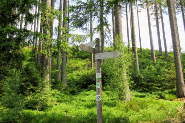
After just over 1 km, you’ll meet a junction with a larger track coming in from the open on the right. Here you’ll also see signs for the Schlaufenweg 11, which you’ll follow for most of the way. Head across the junction on the smaller path, which soon bends left and starts the climb up through the forest.
Walking through the Woods
You’ll soon reach the plateau at the top, on which are growing both fir and deciduous trees. The path continues for a few kilometres through the woodland, at one point following an old Roman road. Eventually you’ll leave the forest behind you and come to an open area of fields.
Walking downwards, you’ll reach a quiet road and find a couple of benches that have great views of the Altmühltal Valley. Turn left here and the road leads you into Dollnstein. You’ll see the small train station on your right, where you can start this hike if you come by train.
Dollnstein
The road bends left past the train station and you’ll reach a small chapel. If you want to visit Dollnstein, turn right here. The most interesting part is across the bridge on the other side of the river. Here you’ll find Burg Dollnstein and the Altmühltal Centre (open 9:30am-4:30pm, closed on Mondays). Even if you don’t visit, you can see the large walls of Burg Dollnstein from far away. This out-and-back detour adds 1.5 km to the length of the walk.
Walking back to Wellheim
If you don’t want to visit Dollnstein, continue left at the chapel and keep left on the track. This soon becomes a small path that leads up the grassy hillside. It’s a lovely area and soon you’ll come to some rock pillars. There are great views from here, and some of the rock formations are rather dramatic. You can also see across the valley and to the woods and surrounding countryside.
Soon you’ll enter a few trees and then head downhill. The route follows along the edge of the forest before heading back up into it and across the top of the hill. On the other side, the path heads down again towards Wellheim. Turn left along the road at the bottom and in a few hundred metres you’ll be back at the car park. This is the end of the Wellheim to Dollnstein Hike.
After this walk, why not visit the cute town of Donauwörth, or go on another walk in the Altmühltal. Alternatively, check out our Germany Hiking Page for more great hikes nearby and for walking tours of the famous Bavarian cities.


